
WSU DISCOVERY TRAIL
BONNEVILLE SHORELINE TRAILS, OGDEN, UTAH
LENGTH:
1 to 2 mile loops
ELEVATION GAIN:
532 feet
HIGHEST POINT:
5,515 feet
CALCULATED DIFFICULTY:
Easy


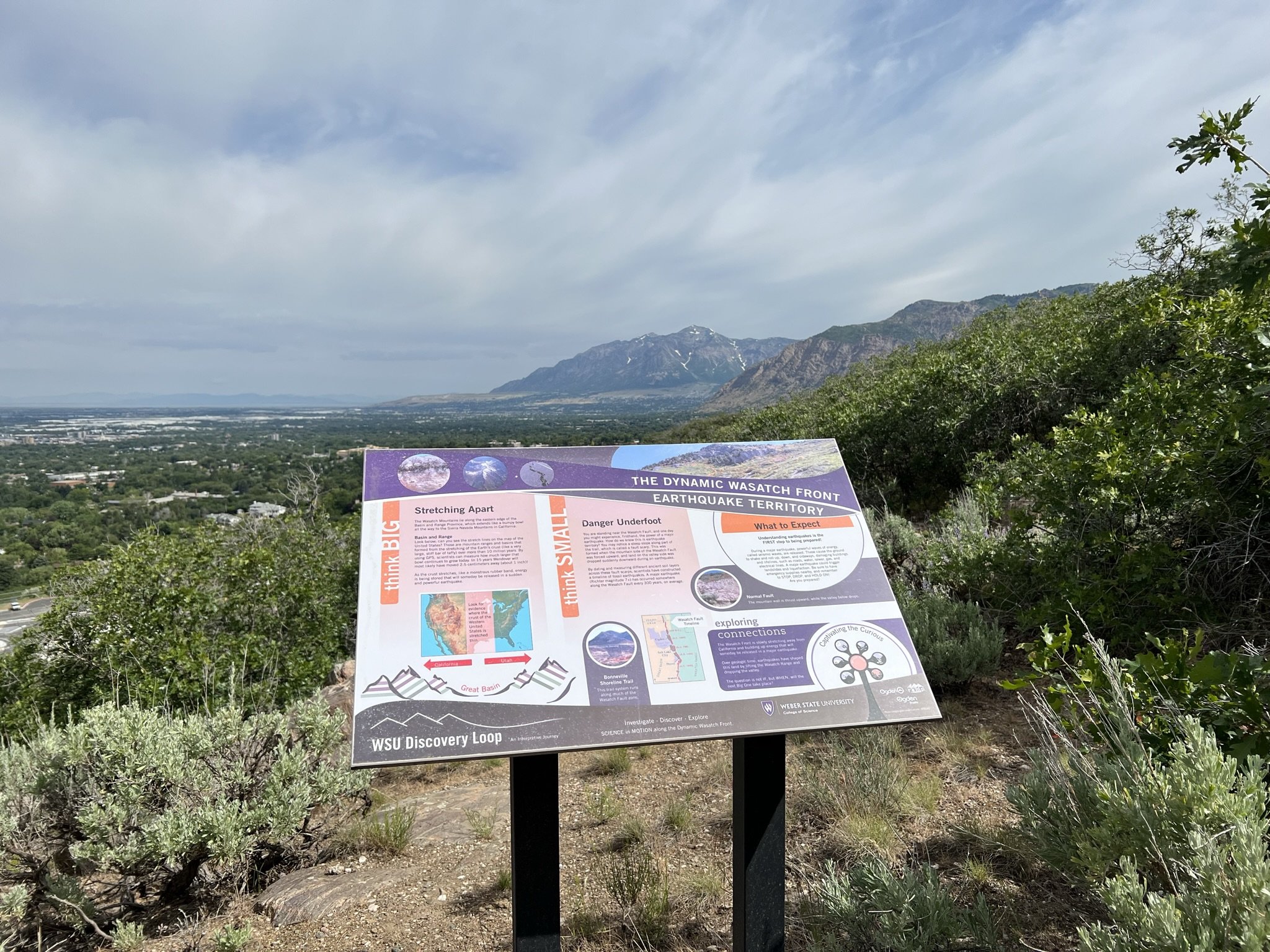
WSU DISCOVERY TRAIL DESCRIPTION
The Weber State University Discovery Loop trails are self-guided interpretive science trails in the foothills above the WSU campus. They feature point-of-interest signs and learning stations to educate students of all ages about the unique geology, biology, and wildlife of the Wasatch Front. The trails were planned with three audiences in mind: the general Ogden community, tourists, and students. Just a few minutes from the Discovery Trailhead at a series of steps, the two Discovery Loops split. The North Loop heads uphill where it reaches the Bonneville Shoreline Trail in less than a half mile. At this point, you may decide to return the way you came or hike north to Strong’s Canyon. After a short, steep descent along a badly eroded section of trail, you will come to Strong’s Creek. If the water is low, you can follow the creek down the mountain all the way to the 36th Street Trailhead. At the 36th Street Trailhead you can return to the Discovery Loop Trailhead by retracing your steps or follow a bike trail that leads south back to where you started. The inner Discovery Loop hike takes about 30 minutes.
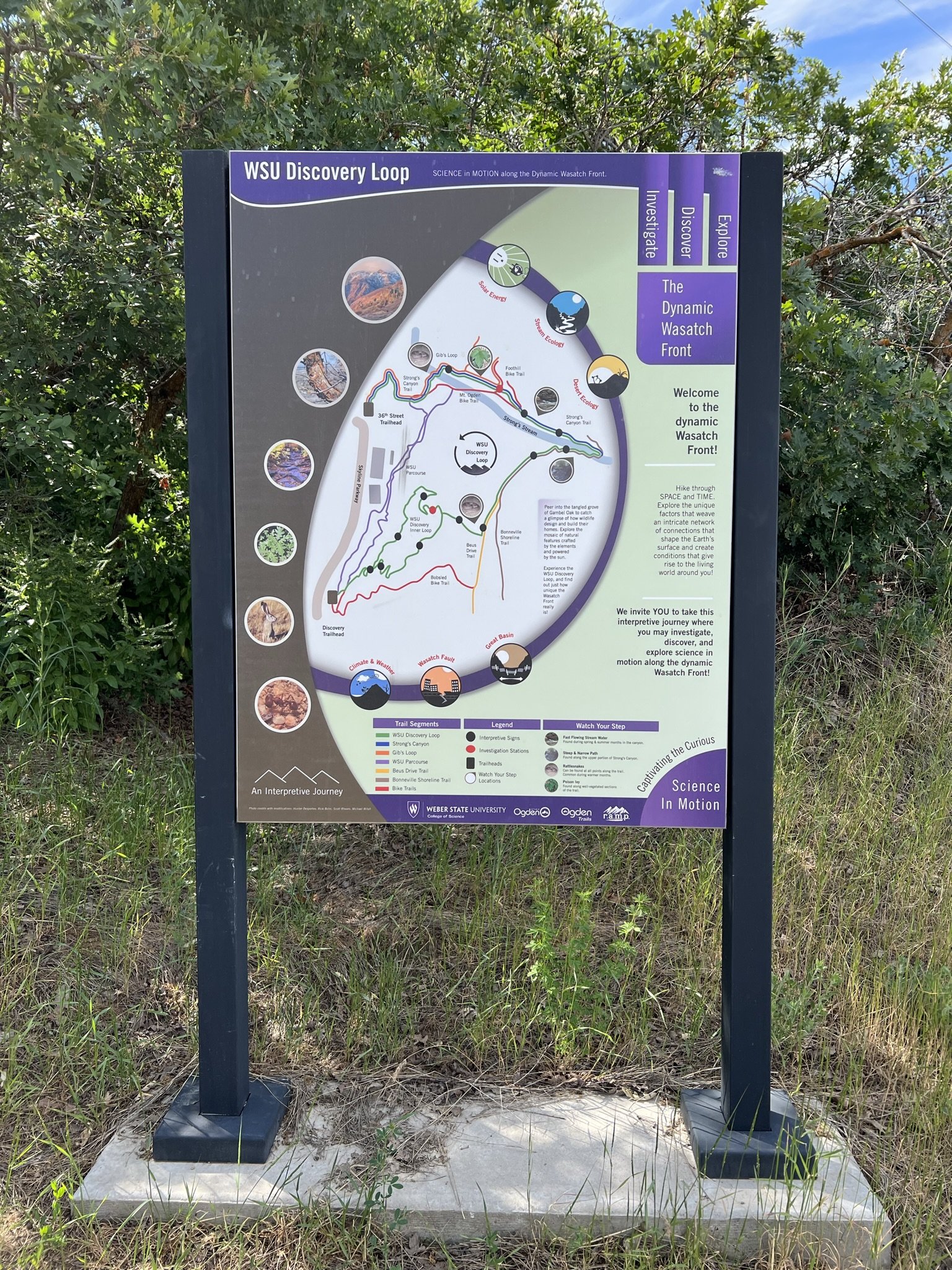
Pro Tip:
Use the excellent map at the Discovery Loop Trailhead to plan your hike. It will show you where interpretive signs and learning stations can be found as well as other trails in the area. The Discovery Loop trails are best hiked when the morning sun provides excellent views of WSU’s Stewart Stadium to the west and Ben Lomond to the north. The trails can be very hot in the afternoon sun.
WSU DISCOVERY TRAIL LOCATION
DIRECTIONS TO TRAIL HEAD
From Ogden
This trail description is written by:
Ron Thornburg, TFNU Board Member