
WEBER RIVER PARKWAY - OGDEN
CENTENNIAL LOOP TRAILS, OGDEN, UTAH
LENGTH:
3.6 miles one way
ELEVATION GAIN:
xxxx feet
HIGHEST POINT:
xxxx feet
Easy
CALCULATED DIFFICULTY:


WEBER RIVER PARKWAY - OGDEN DESCRIPTION
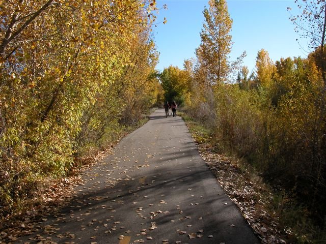
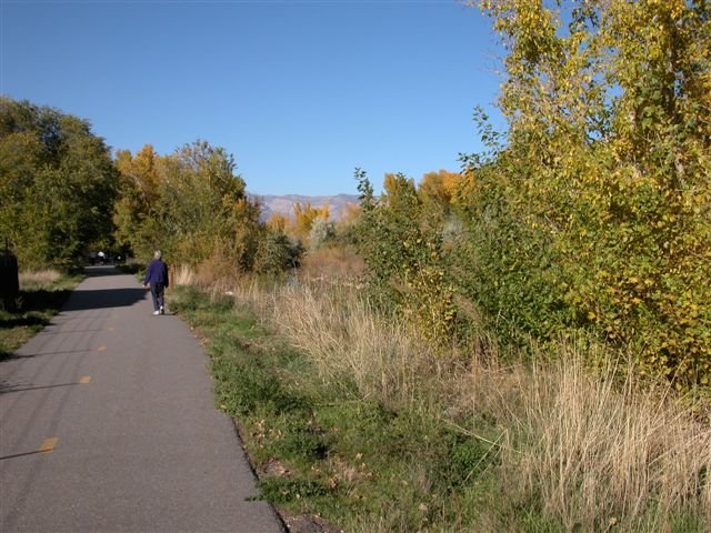
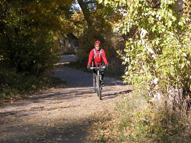
The Weber River Trail (Ogden) is the Ogden section of the Weber River Parkway. Its southern boundary is the Parker Drive Trailhead, and it travels north to the Skate Street Trailhead. This trail is excellent for biking and walking.
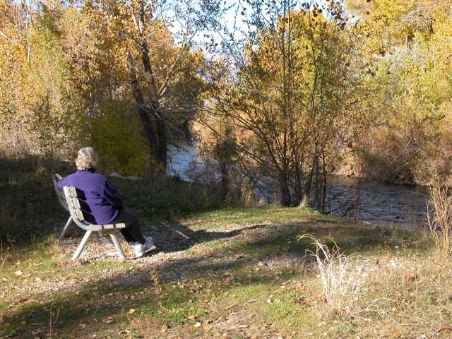
With numerous points of river access, it is a popular place for bird watchers, fishermen, and nature lovers. This section of water is normally slow-moving and suitable for kayaks or other small non-motorized watercraft, but boats should be taken out no further downstream than the Ogden Kayak park.
An old Fort resides at Fort Buenaventura where you can also canoe around the pond.
Accessibility: There is one designated accessible space in the small paved parking lot off of Parker Drive at the south end of the trail. It is van-accessible with a striped access aisle. There is also a wheelchair-accessible restroom at this location.
The trail surface is asphalt, cement, packed dirt, gravel, or wooden bridge (with railings), and typically at least 4 feet wide. The estimated grade is mostly gentle (5% or less) except for one moderately steep (5-8%) uphill and downhill section at about 1.4 miles when going south. Wheelchair/mobility equipment or stroller users may need assistance in the steeper section.
There are benches and picnic tables along the route for resting.
WEBER RIVER PARKWAY - OGDEN LOCATION
GETTING THERE
From Ogden