
TMF TRAIL
NORTH FORK PARK TRAILS, OGDEN VALLEY, UTAH
LENGTH:
0.7 miles one way
ELEVATION GAIN:
102 feet
HIGHEST POINT:
5845 feet
Moderate
CALCULATED DIFFICULTY:


TMF TRAIL DESCRIPTION
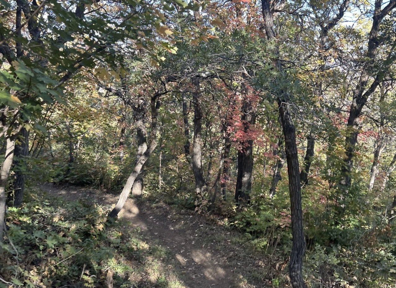
TMF is a short, steep way to get from Trail 365 to the Connector Trail or the bottom of the South side of Mules Ear. When going from North to South it is steep for the first couple hundred yards and then becomes less so. After you work your way to the switch back the climb is short and after wards go down quickly. On a bike this is a fun ride with bumps and jumps. Be careful as horses do utilize this trail often and corners can be blind. Coming from South to North is longer less steep climb and the down hill is short and fast.
Adaptive Information
This trail will be no problem for adpative mountain bikes with e-assist. It will be a little too steep for other adaptive equipment currently available. The trail is wide and the one switch back is plenty wide. There may be a little brush in the face as there are large plants and ferns growing in mide to late summer that limit visibility and could whip the face of adpative riders low to the ground.
TMF TRAIL LOCATION
DIRECTIONS TO TRAIL HEAD
There is no official trailhead for TMF. The trail is accesed from the top of 365 or from the intersection of Mules Ear and Connector where you will head South (down hill) to start TMF.
This trail description is written by:
Ben & Kristi Prall, TFNU Board Members