

Mount Ogden Peak
Of the hiking routes, the Snowbasin route is the shortest and requires the least vertical gain - 4.5 miles 3139 foot elevation gain.
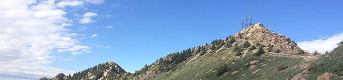
The route up Beus Canyon is about 5 miles with a 4402 foot elevation gain. is a bit more challenging but the trail is beautiful and relativiely clear. You can make the hike up to Mount Ogden Peak from Taylors Canyon and Waterfall Canyon, but those trails are not maintained and tend to fade in and out.
If you take Mount Ogden Peak via the Beus Canyon trail, you can expect that the lower part of the trail is easy as it climbs to the mouth of Beus Canyon, where it intersects the Bonneville Shoreline Trail. The trail continues along Beus Creek until it reaches a small meadow.. This meadow is locally known as Fern Valley, for obvious reasons. After Fern Valley, you need to pay attention to some large logs that lead you over the creek. If you continue up the canyon beyond the logs across the trail, the trail ends after about a quarter mile. Make sure to cross the creek and follow the open trail. From the point that the trail crosses the creek, the trail climbs the ridge between Beus Canyon and Burch Canyon to the south. The trail continues to climb at a steep pitch as it goes around and back to the north to the head of Burch Creek. From there, follow rock cairns to the saddle just south of Mount Ogden Peak. At this point you are in the open, with not a lot of coverage.
Elevation Gain:
4402 Feet (Beus Canyon TH) 3139 feet (Snowbasin Base)
10 Miles (Beus Canyon TH) 9 Miles (Snowbasin Base)
Moderate to Difficult
4-6 Hours (Beus Canyon TH) 3-4 Hours (Snowbasin Base)