
CONNECTOR TRAIL
NORTH FORK PARK TRAILS, OGDEN VALLEY, UTAH
LENGTH:
1.0 mile one way
ELEVATION GAIN:
165 feet
HIGHEST POINT:
6003 feet
CALCULATED DIFFICULTY:
Easy


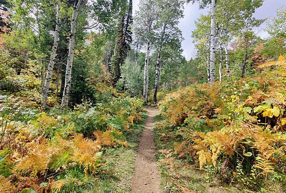
CONNECTOR TRAIL DESCRIPTION
The connector trail (also known as the Mules Ear Connector) runs in the middle of North Fork Park and connects several trails. On the South it starts at the junction of TMF and Mules Ear. The trail runs to the middle of the Cutler Twist trail. Approximately 0.8 miles from the South Start in connects with Mules Ear on the West and Mules Shoe on the East. The trail is a gradual uphill from South to North with a couple of rocky sections, but nothing too serious. The trail can be used to access many parts of the park and is the quickest way to get from the South to North end of the park.
CONNECTOR TRAIL LOCATION
GETTING THERE:
There is no official trailhead to the Connector trail as it starts from the Mules Ear trail on both ends. The fastest way to it is to start at the Mules Ear Parking lot and start up Mules Ear. Just across the road crossing the connector trail takes off to the South. You can also access it from the South by going up Pipeline and heading west on Mules Ear for about 0.2 miles where it takes off to the North.
This trail description is written by:
Ben & Kristi Prall, TFNU Board Members