
BURCH CREEK TRAIL
BONNEVILLE SHORELINE TRAILS, OGDEN, UTAH
LENGTH:
1.0 to 2.5 miles one way
ELEVATION GAIN:
xxxx feet
HIGHEST POINT:
xxxx feet
CALCULATED DIFFICULTY:
Moderate


BURCH CREEK TRAIL DESCRIPTION
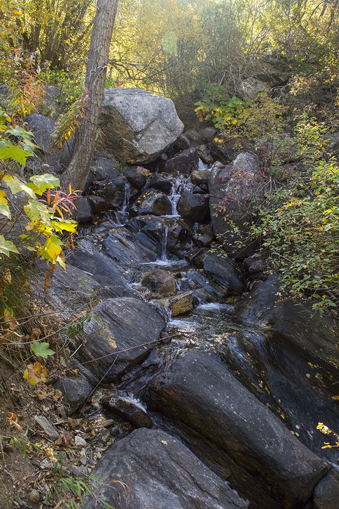
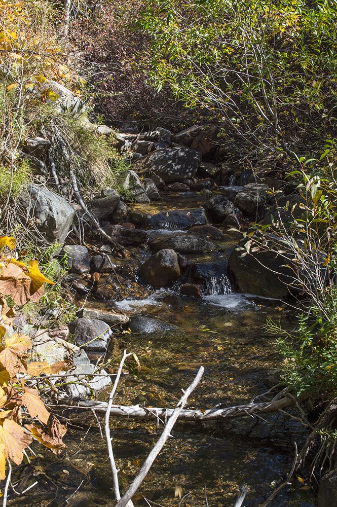
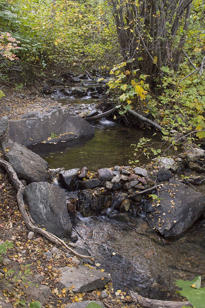
This out-and-back trail is moderately challenging, but immensely rewarding, with plenty of wildflowers, shade, creek crossings, and a few rock scrambles. It doesn't have a defined endpoint: this one is all about the journey! Enjoy the numerous flowers, river birches, maples, and the cool air along the stream. The trail does continue further up the canyon, but eventually becomes overgrown and harder to follow.
The trail starts out pretty level, with only slight inclines and not too many rocks, but it does get steeper in sections throughout. There are numerous stream crossings; some of the earlier ones have small footbridges in various stages of disrepair, but later crossings are just rocks and branches.
Depending on the time of year, the stream is pretty shallow at most of the crossings, so if you don't mind getting your feet wet you might be better off just hiking straight through. Be careful and use your judgement. There are several short sections where rock scrambling is required.
BURCH CREEK TRAIL LOCATION
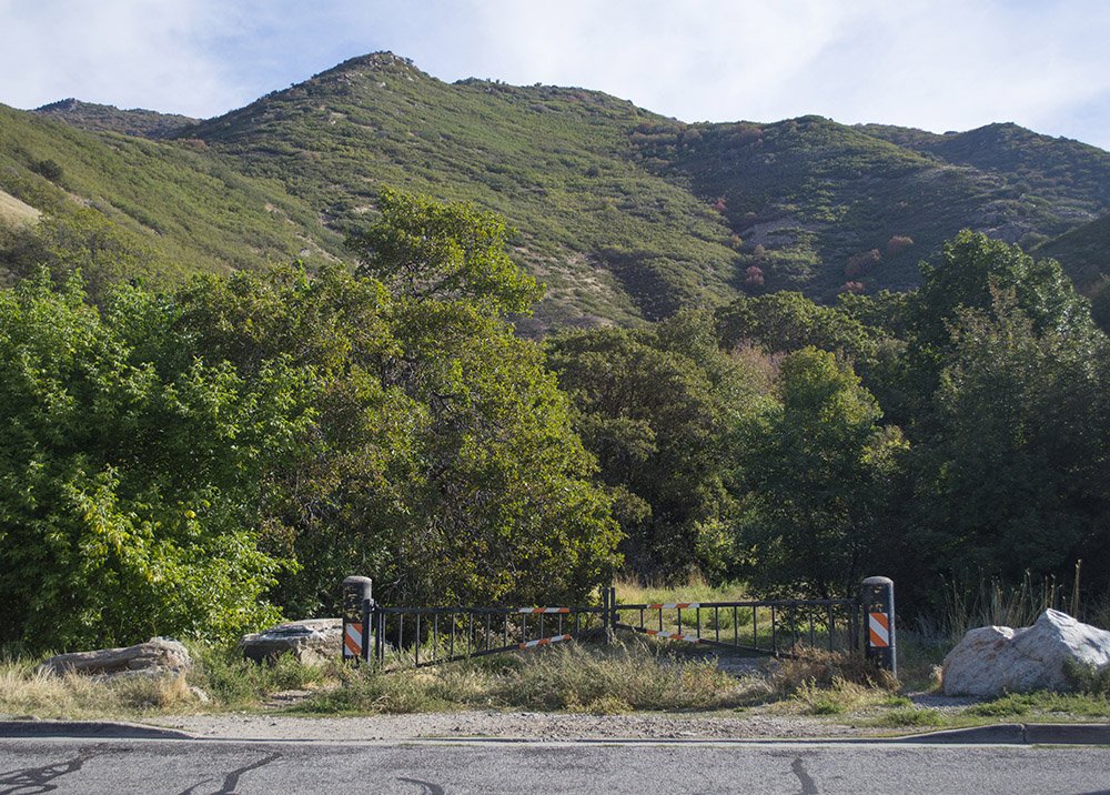
DIRECTIONS TO TRAIL HEAD
From I-15, take exit 341 toward 31st Street. Drive east toward the mountains, following the signs for Weber State University. Once you reach Harrison Blvd, proceed South to 46th Street. Turn Left onto E 4600 S. After about .75 miles, East 4600 S turns slightly right and becomes S 1900 E. Another ½ mile later S 1900 E turns right and becomes S Ridgedale Drive. The trailhead will be on the east side of the road. Park along the street. The Trailhead has a brown gate and you can see the trail going back into the forest. There isn’t a parking lot, so you have to park alongside the road. Be courteous of people who live there and avoid blocking fire hydrants or drive ways.