
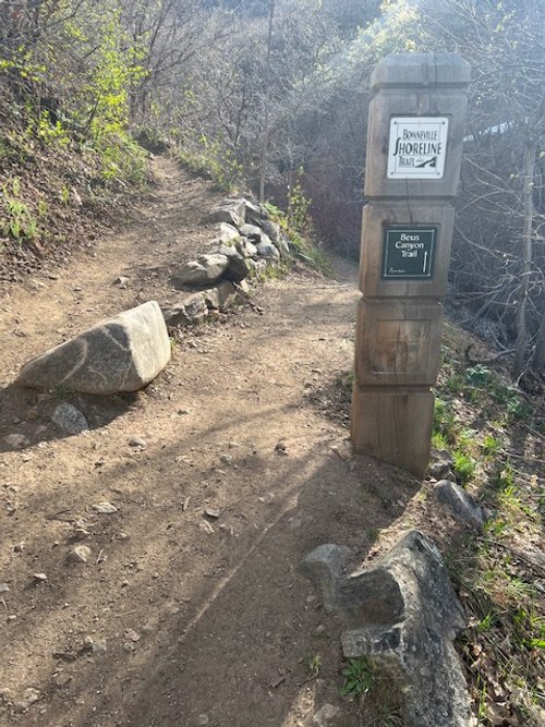
BEUS CANYON TRAIL (TO MOUNT OGDEN PEAK)
BONNEVILLE SHORELINE TRAILS, OGDEN, UTAH
LENGTH:
5.6 miles one way
ELEVATION GAIN:
4402 feet
9579 feet
HIGHEST POINT:
CALCULATED DIFFICULTY:
Difficult


BEUS CANYON TRAIL DESCRIPTION
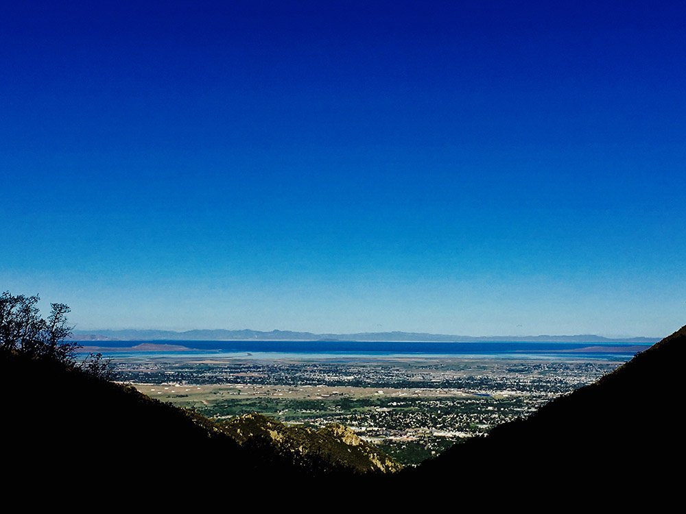
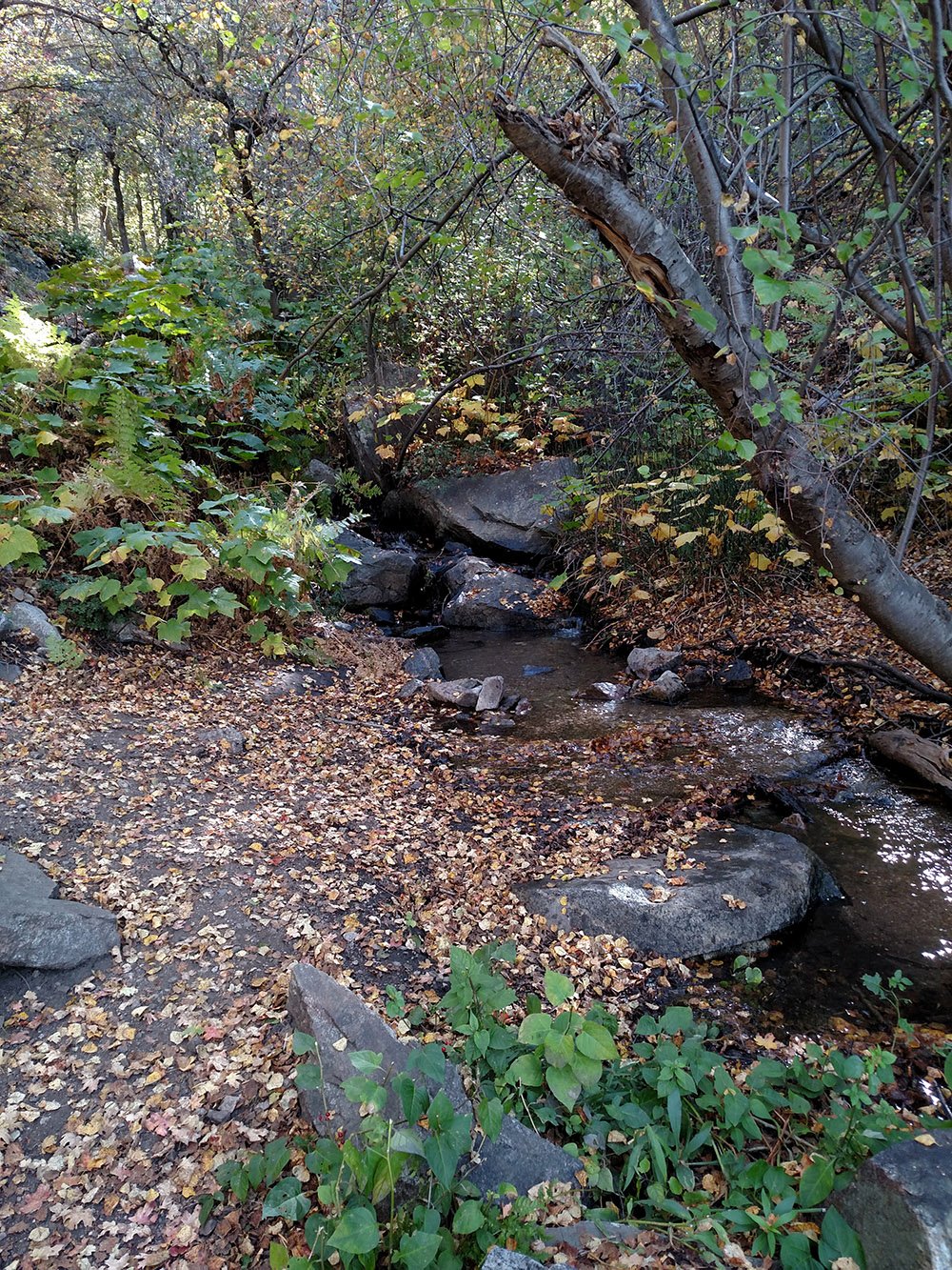
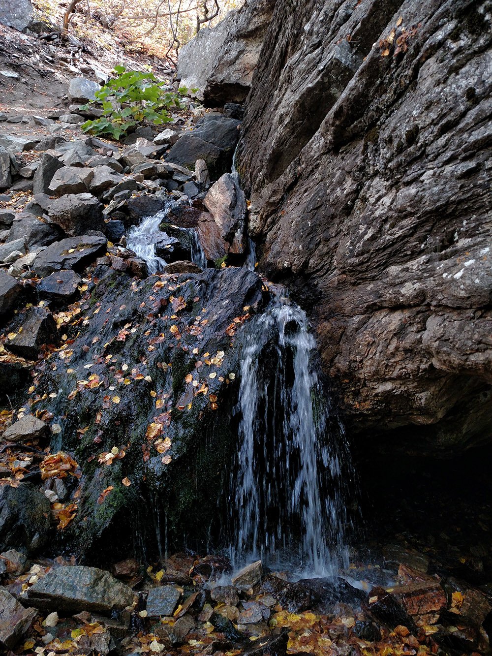
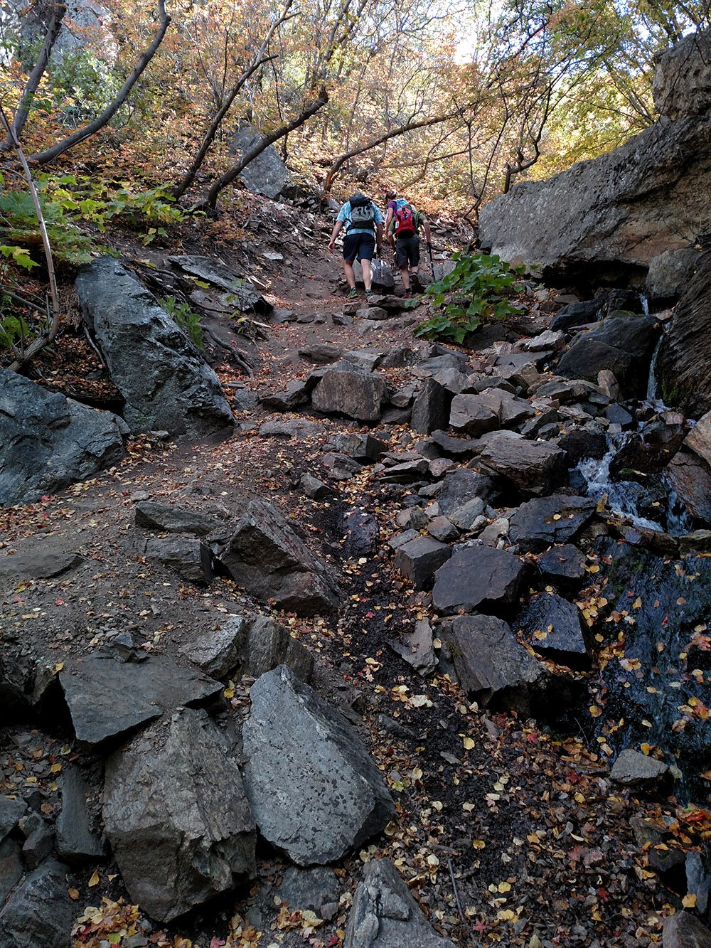
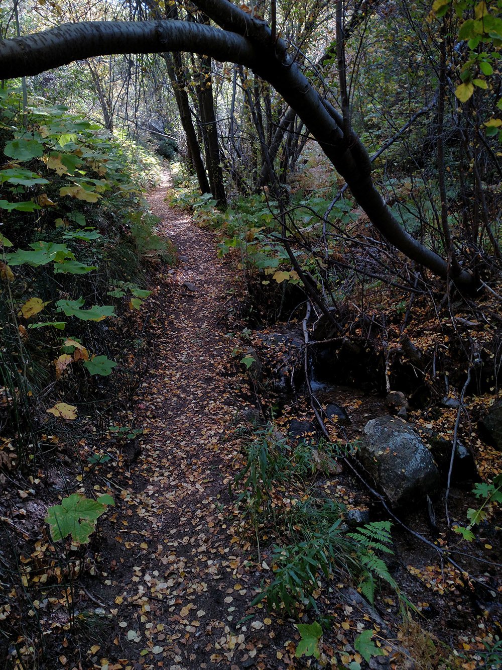
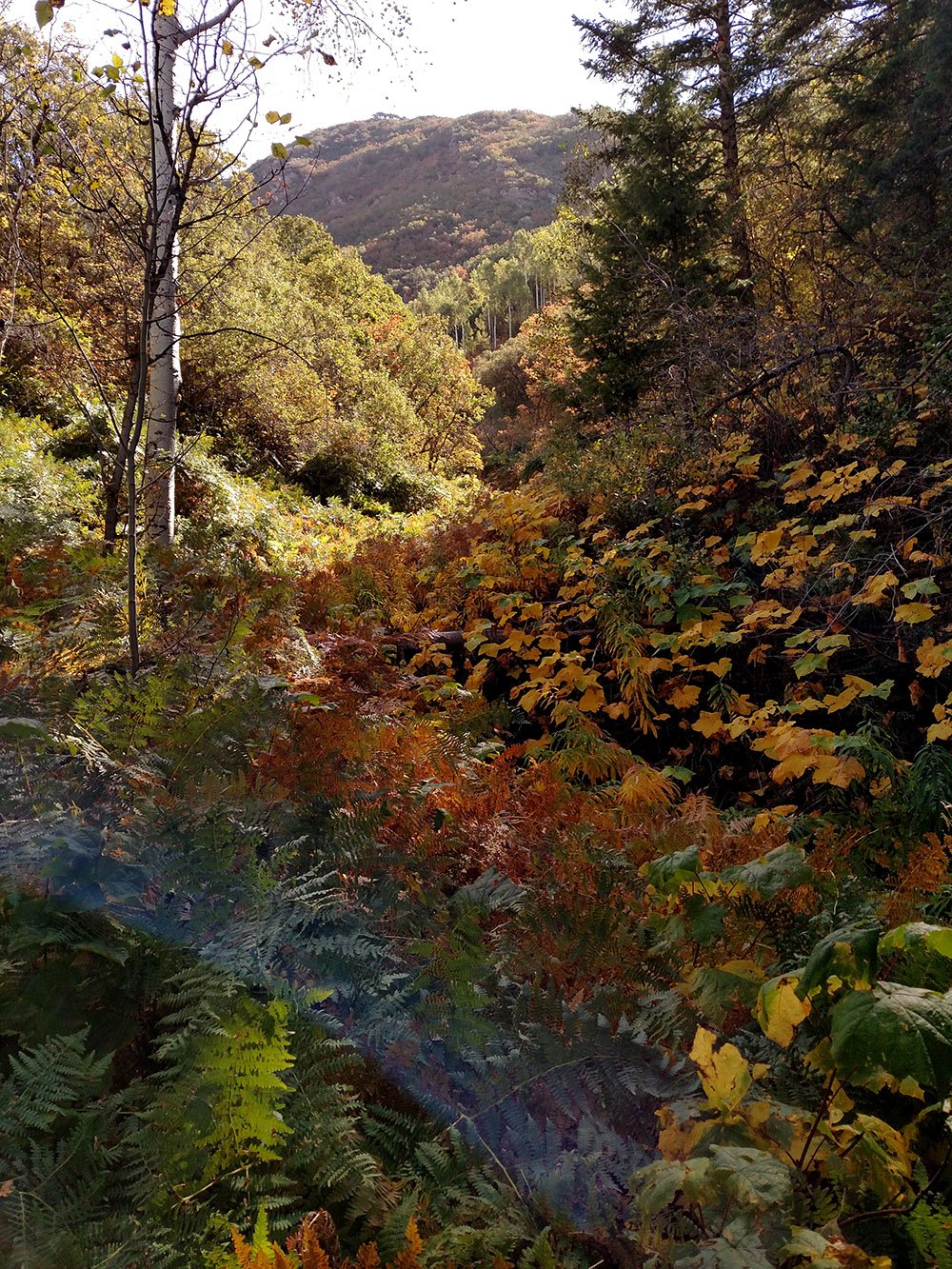
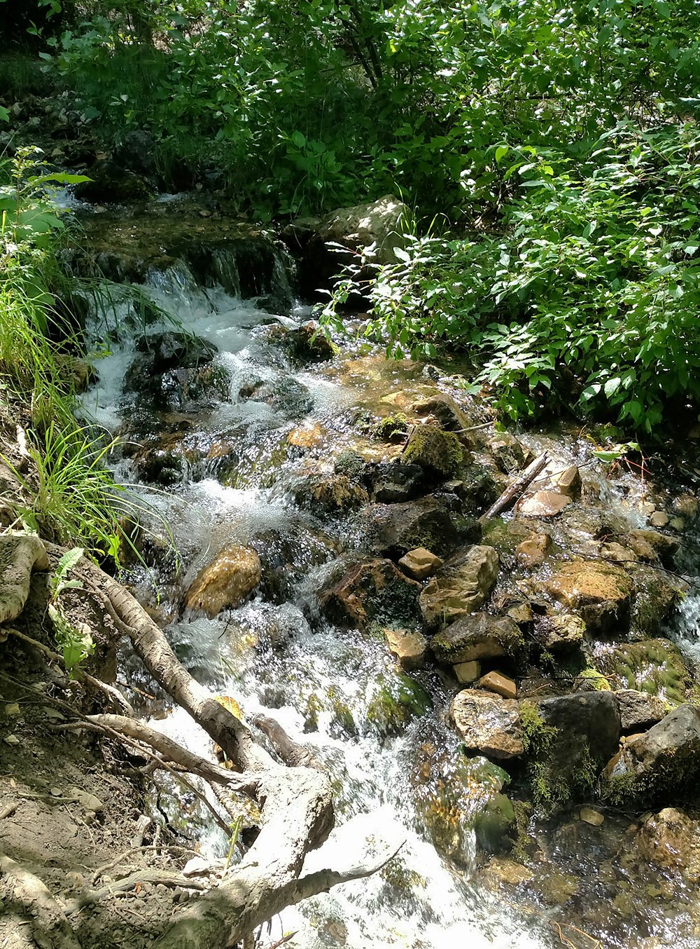
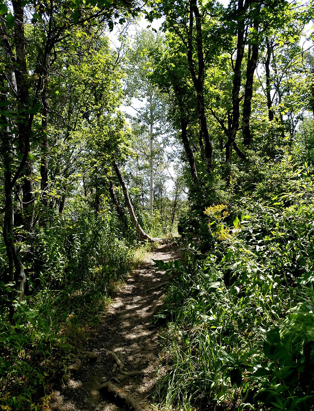
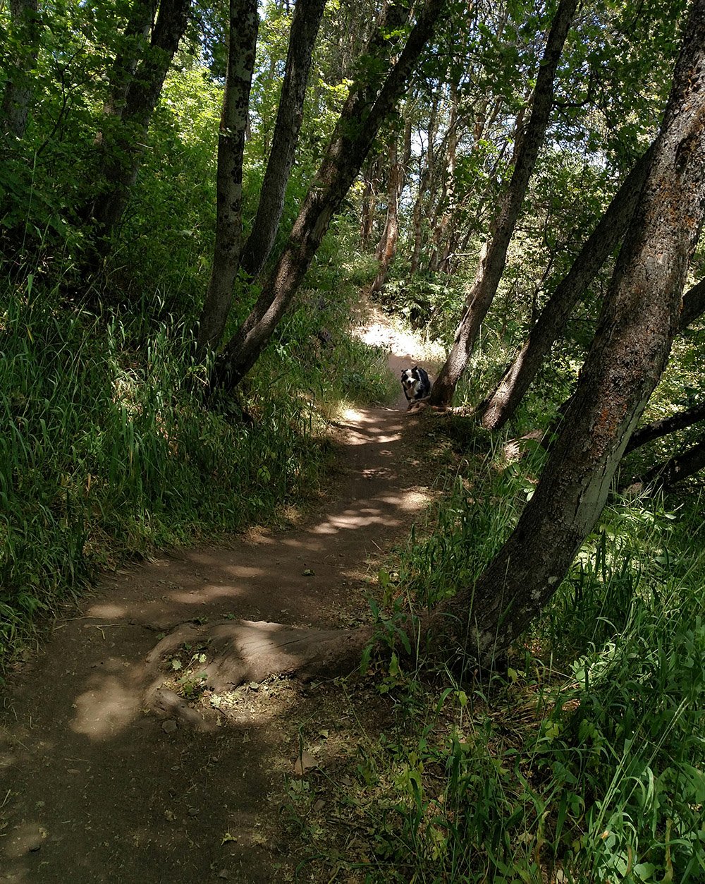
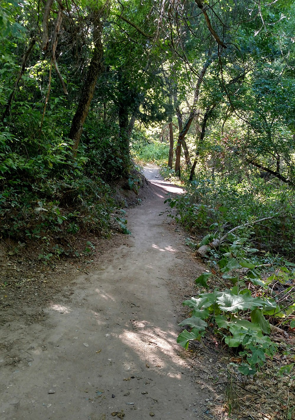
This is a wonderful trail. It’s slightly rocky and pretty tight, so it’s a tough uphill for bikes. Until the trail leaves Beus Canyon and traverses over to Burch Creek Canyon, you are in shade and mostly following beside the creek. It stays cool all summer long.
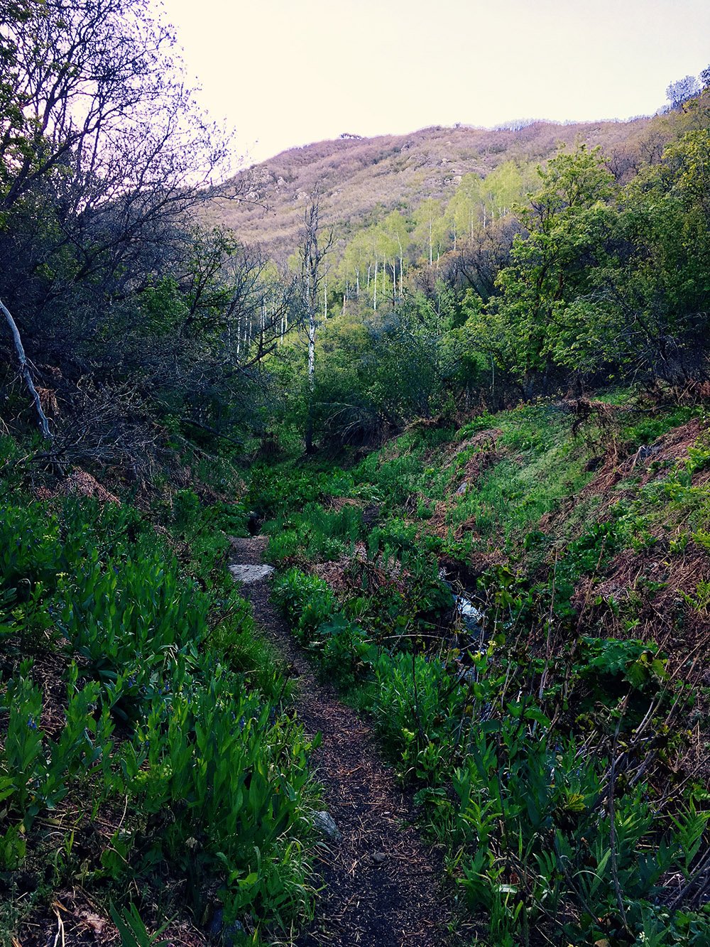
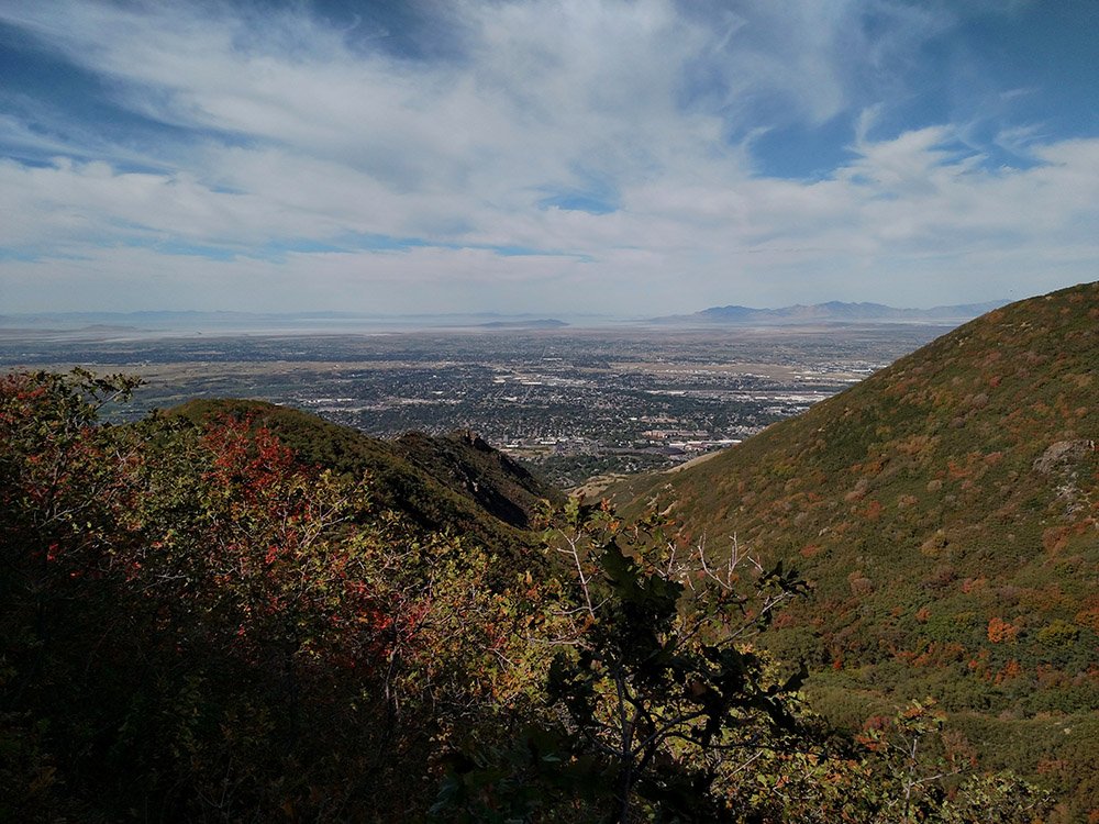
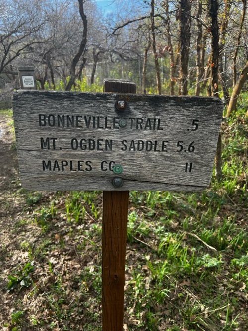
The lower part of the trail is easy as it climbs to the mouth of Beus Canyon, where it intersects the Bonneville Shoreline Trail. At the fork of the trails, bear right and go over the bridge to stay on the Beus Canyon Trail. The trail continues along Beus Creek until it reaches a small meadow. This meadow is locally known as Fern Valley, for obvious reasons. From there the trail continues along the creek and then finally you cross and leave the creek to climb the ridge between Beus Canyon and Burch Canyon to the south. The trail continues to climb at a steep pitch as it goes north to the head of Burch Creek. From there, it opens up and there is no longer a lot of shade or water. Follow the rock cairns all the way up to the saddle just south of Mount Ogden Peak.
BEUS CANYON TRAIL LOCATION
DIRECTIONS TO TRAIL HEAD
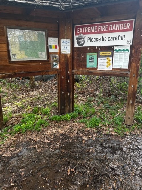
From the intersection of 46th Street and Skyline Drive follow 46th Street east .17 miles. Trailhead parking and trail kiosk will be on the left with a small parking lot for 8-10 cars (not plowed in the winter).
Trail head is about 4720 S. 46th Street on the south side of the Forest Service compound.
Coordinates 41.17727, -111.92961
This trail description is wriiten by:
Mike McConvill, TFNU Board Member