
12TH STREET TO BEUS CANYON TRAIL
BONNEVILLE SHORELINE TRAIL, OGDEN, UTAH
LENGTH:
6.4 miles one way
ELEVATION GAIN:
About 834 feet
HIGHEST POINT:
5264 feet
CALCULATED DIFFICULTY:
Moderate


12TH STREET TO BEUS CANYON TRAIL DESCRIPTION
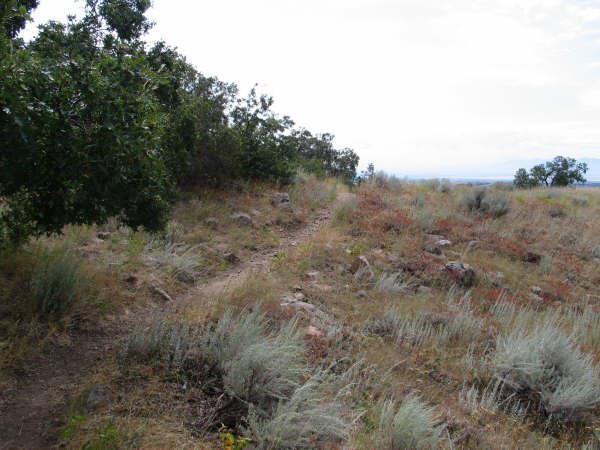
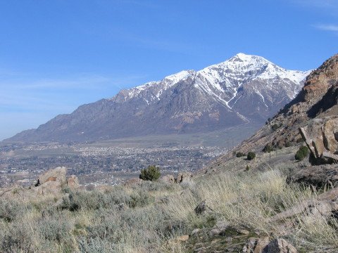
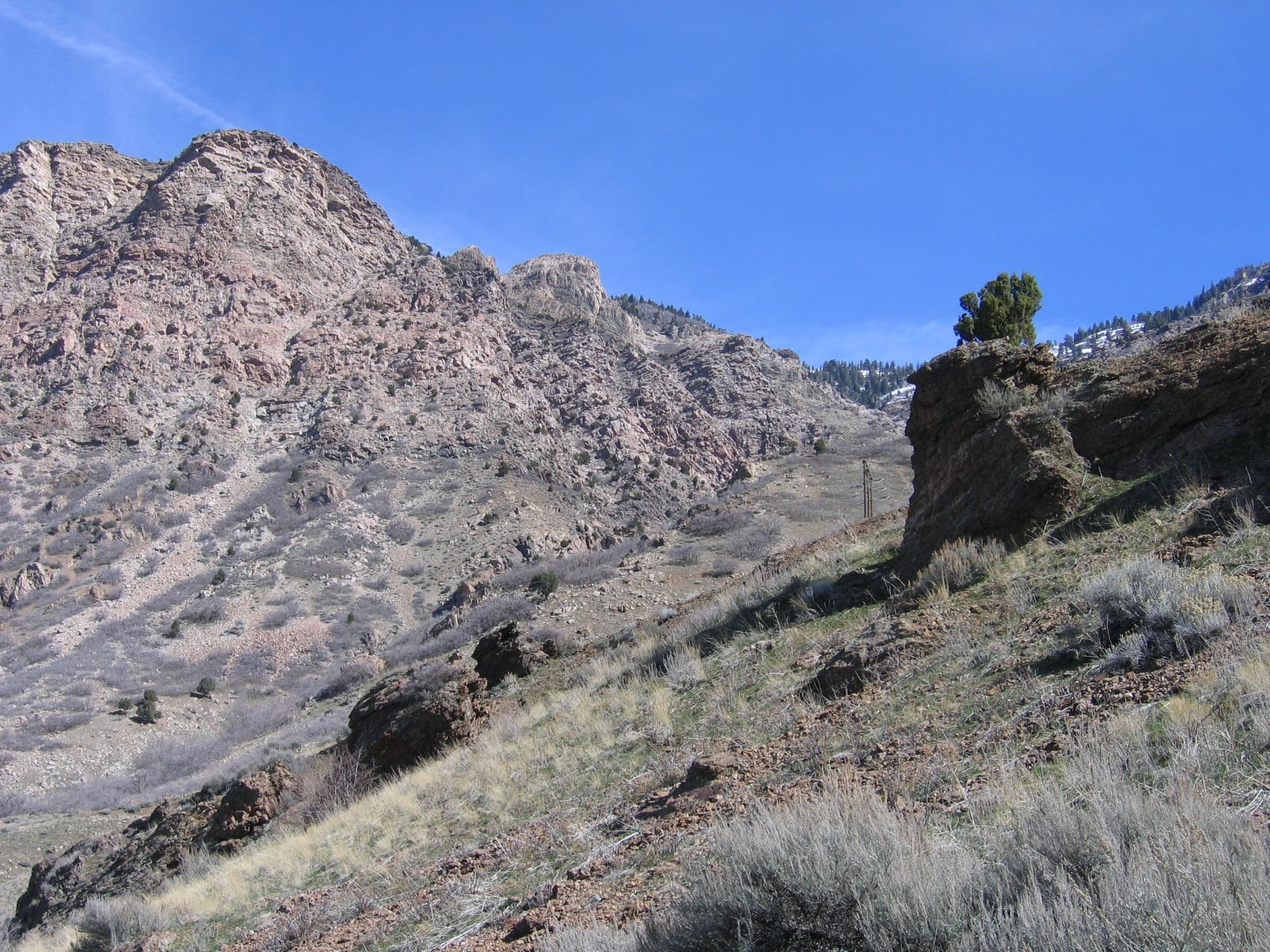
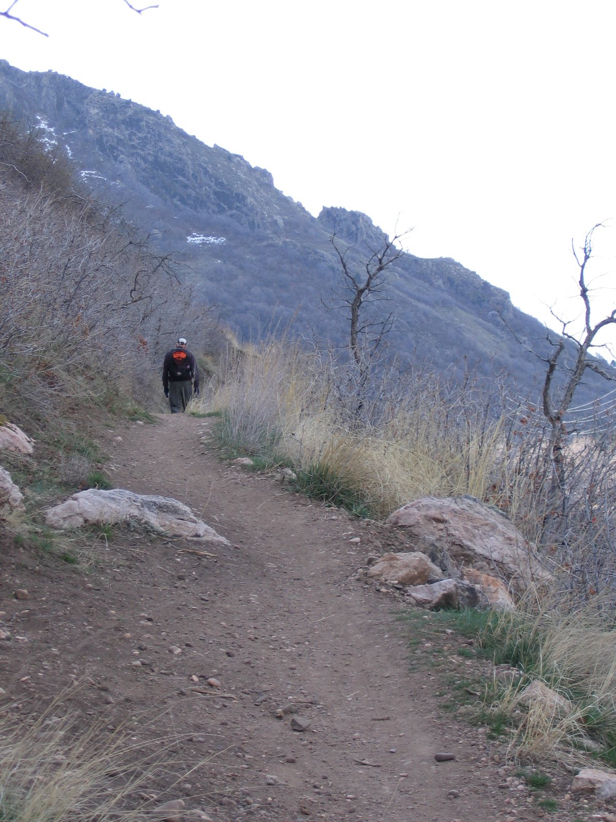
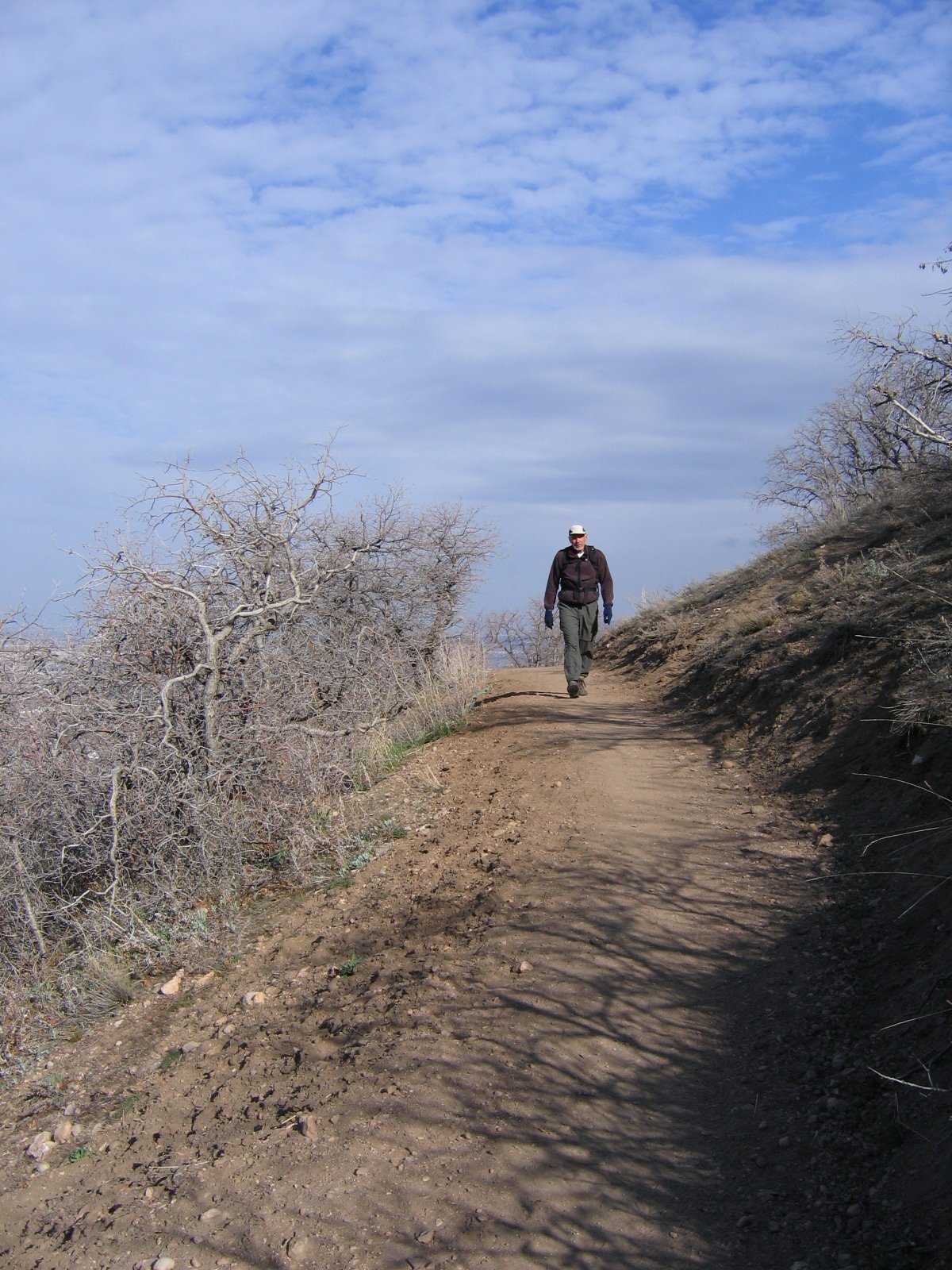
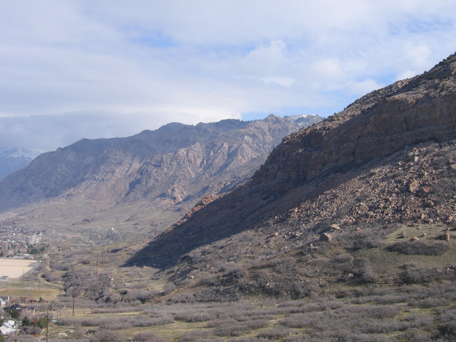
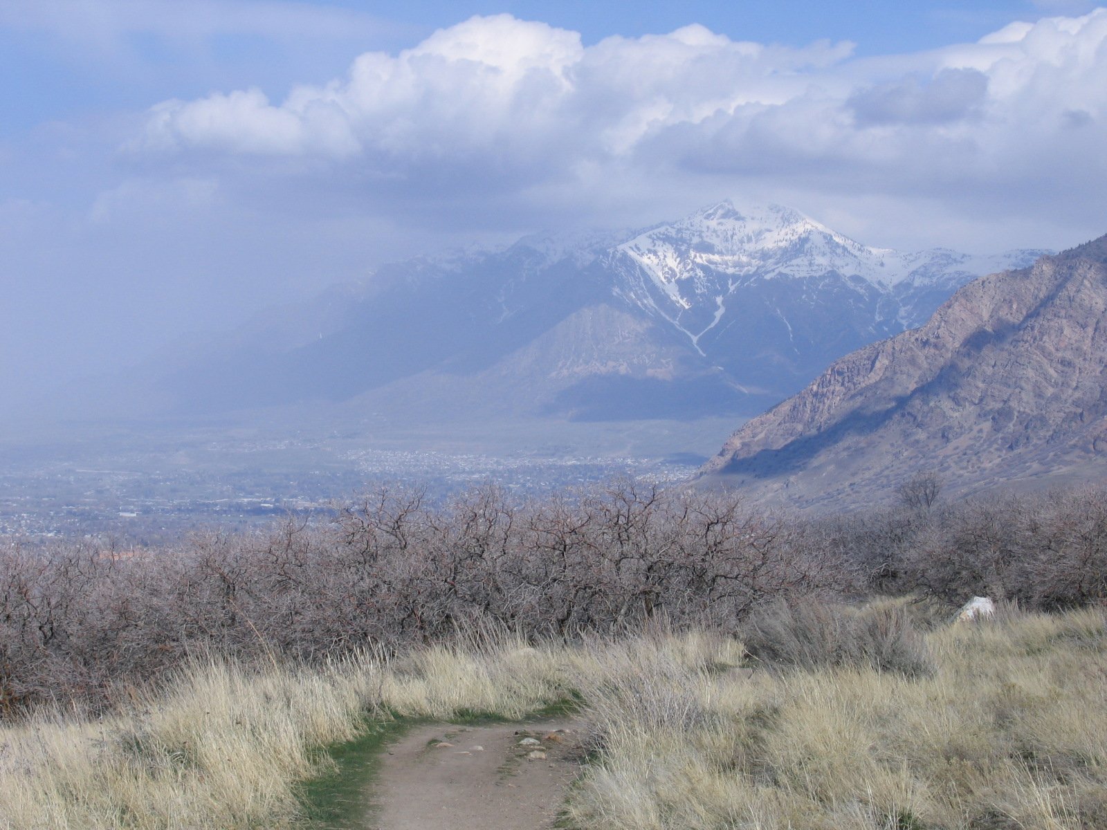
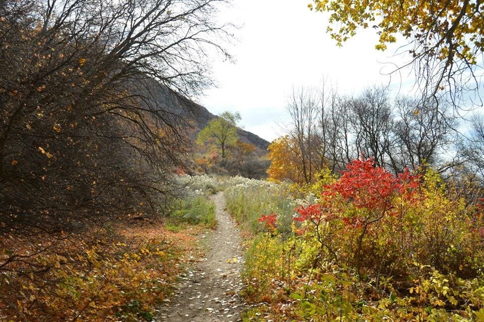
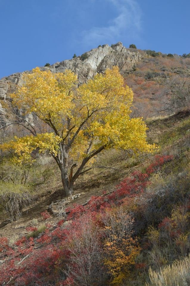
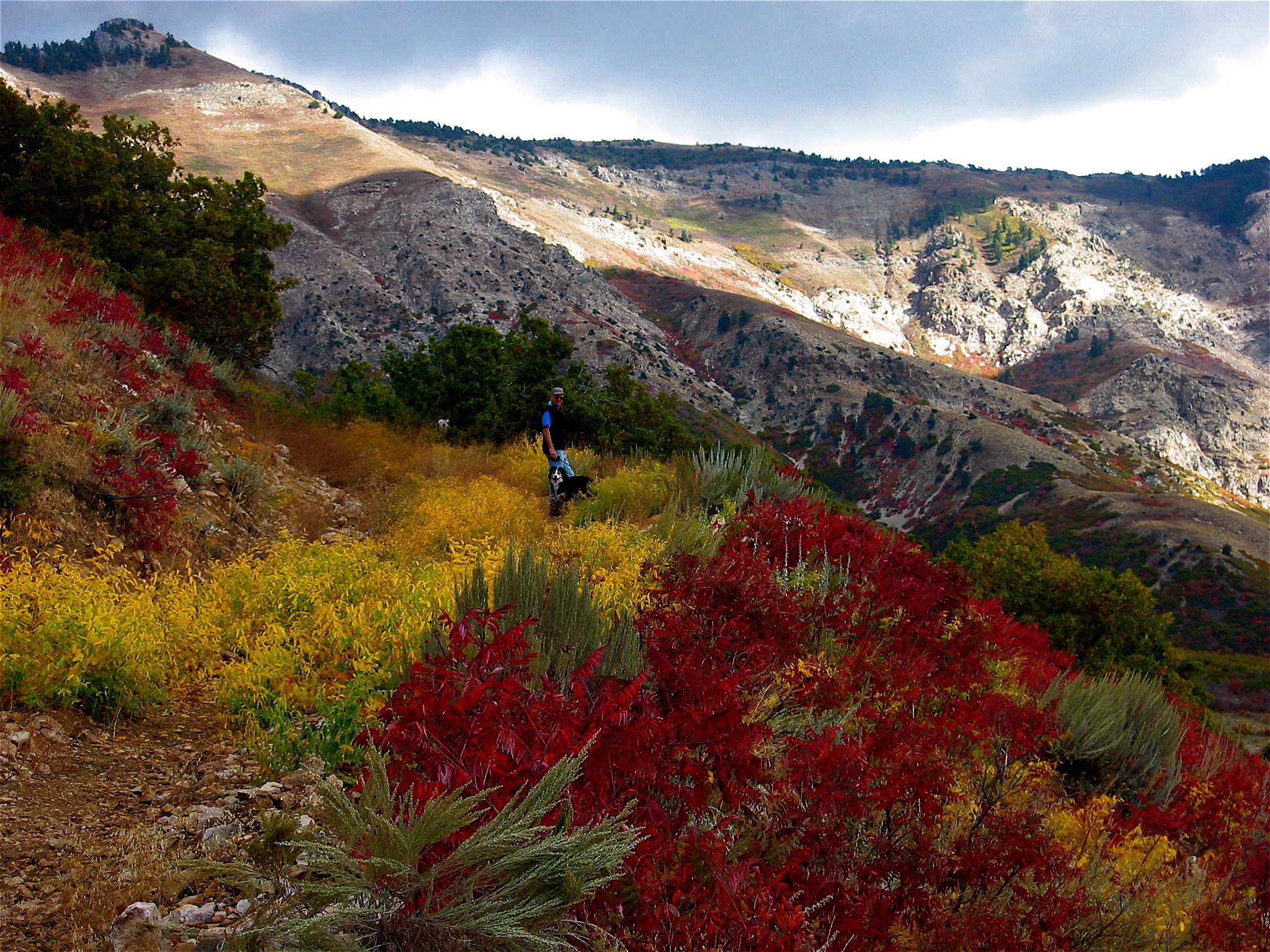
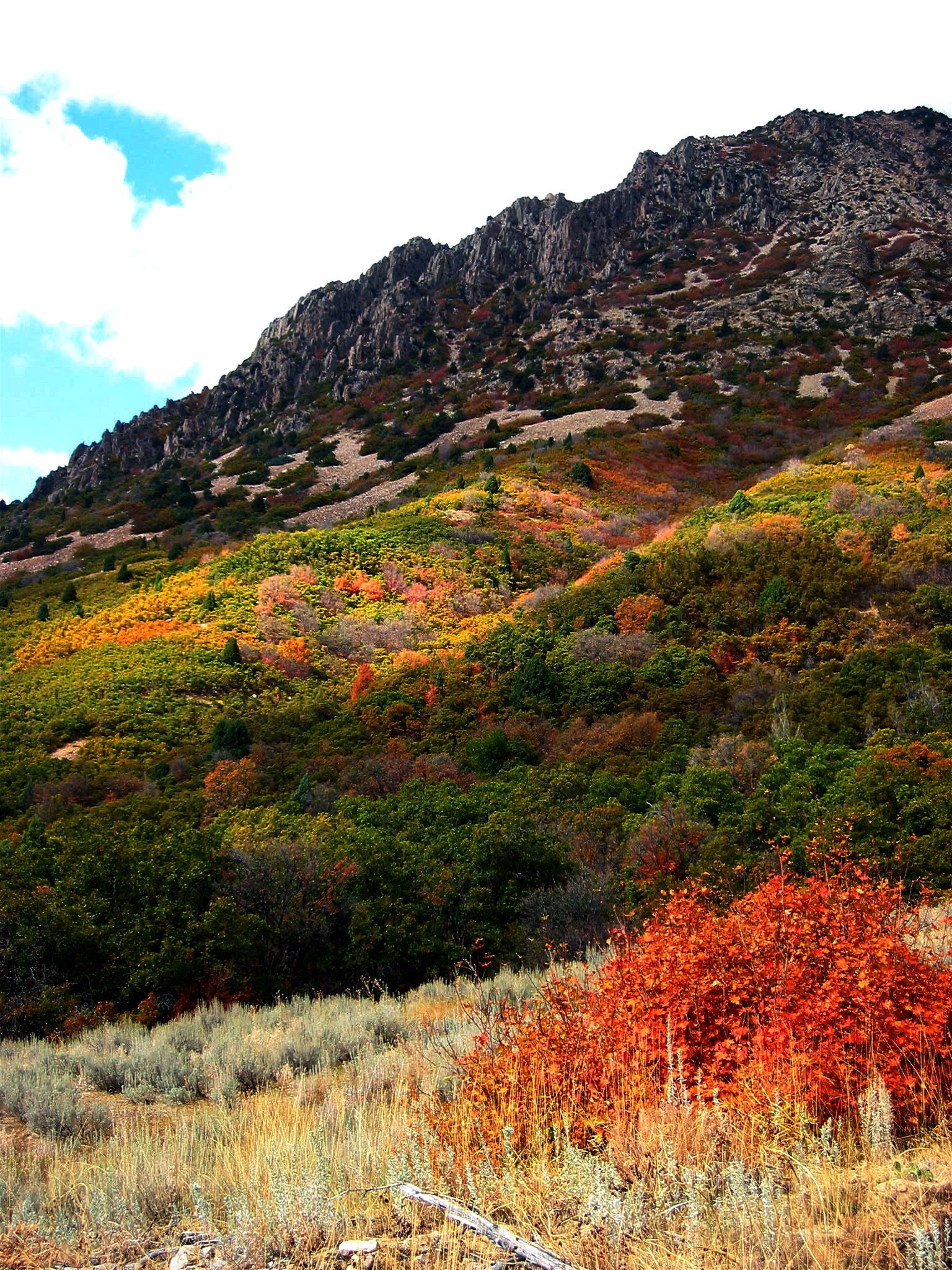
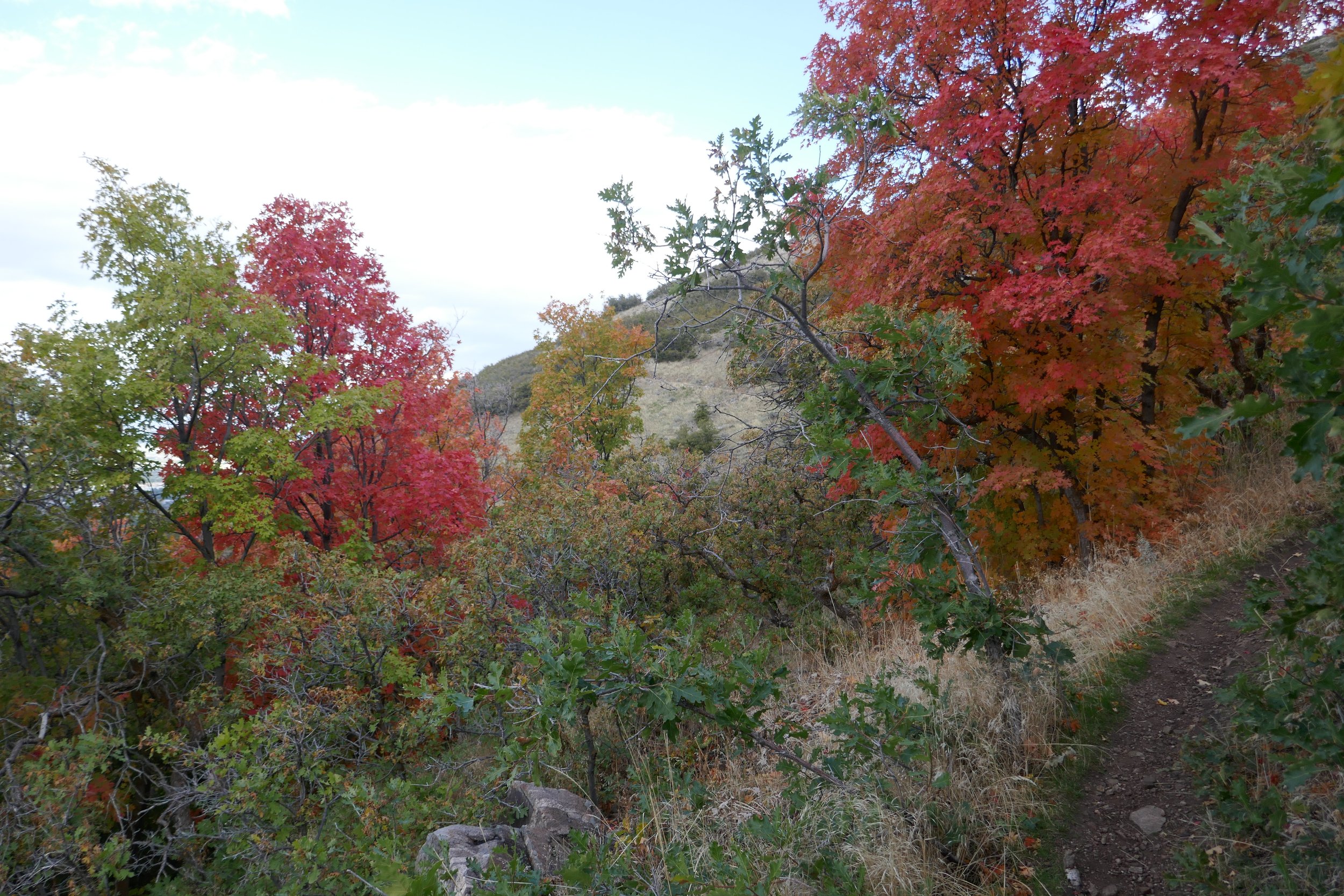
This is the Ogden section of the Bonneville Shoreline Trail. There are several trail heads that access the BST along the way, but this is the description of the full section from 12th Street TH to Beus Canyon TH. One way is 6.4 miles and starting from either end will be a great experience.
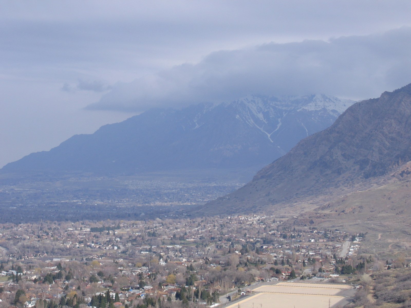
The views on this trail are amazing, but keep in mind that a majority of this trail is exposed and not covered by trees. Also, there is not much water available for your four legged companions, so plan accordingly. But the gentle inclines and declines are perfect if you are looking for both a moderate and stunning trail.
12TH STREET TO BEUS CANYON TRAIL LOCATION
DIRECTIONS TO TRAIL HEADS
12th Street Trail Head: From Ogden, drive north to 12th street and drive towards the mountains. Before you get into Ogden Canyon, the trail head will be on your left. Parking lot is on 12th Street (Canyon Road) across the street (north) from Rainbow Gardens. There is a restroom and a trail map here. There is a tunnel under 12th Street/Canyon Road that will get you on the BST.
Beus Canyon Trail Head: From I-15, take exit 341 toward 31st St, follow signs for Weber State University. After 1.2 miles merge onto UT-79 E/31st St. Turn right at US-89 S/S Washington Blvd. Turn left at 40th St. Continue onto Country Hills Dr. Turn right at S 1200 E St/Harrison Blvd. Turn left at E 4600 S. E 4600 S turns slightly right and becomes S 1900 E. Destination will be on the left.
In general, you head toward Weber State, get on Harrison Blvd, head south until you reach 4600, turn east toward the mountain, Beus Trailhead is at the top of 4600.