
UPPER WHEELER CREEK TRAIL
WHEELER / ART NORD TRAILS, OGDEN VALLEY, UTAH
LENGTH:
2.5 miles one way
ELEVATION GAIN:
230 feet
HIGHEST POINT:
5650 feet
CALCULATED DIFFICULTY:
Easy / Moderate


UPPER WHEELER CREEK TRAIL DESCRIPTION
This section of trail starts at the Art Nord Trailhead on Old Snowbasin Road and takes you to the top of Ice Box Canyon Trail or you can continue on the trail to Maples Trailhead or to the Green Pond Trailhead. Lots of possibilities and this trail is sometimes considered a connector trail.
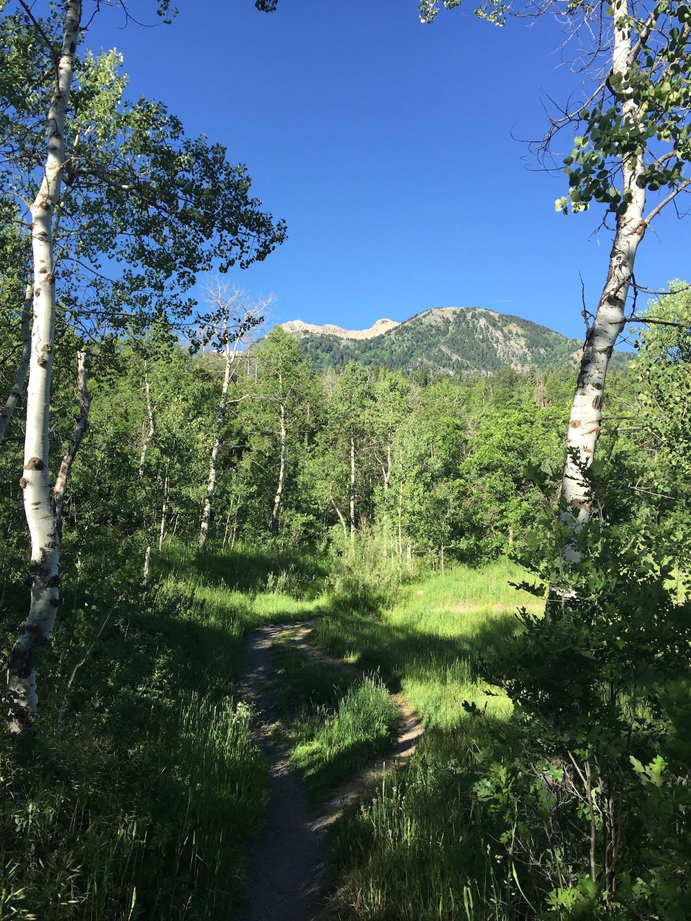
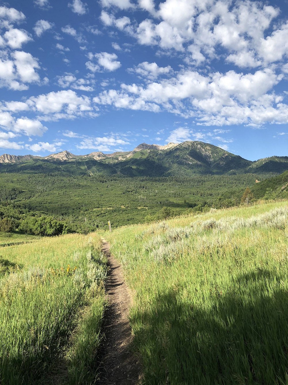
The trail offers great views of Snowbasin and the surrounding area. Not too difficult. Popular with mountain bikes and can be well trafficked in the mornings during summer.
Moose can sometimes be found on this trail, so use caution.
This trail is typically closed by the Forest Service during the spring thaw as the trail can become very muddy and easily damaged until the ground dries out. Please respect and observe all trail closures as they are there to help protect the trail.
UPPER WHEELER CREEK TRAIL LOCATION
DIRECTIONS TO TRAIL HEAD
From the Ogden Valley, take the Old Snowbasin Road until you get to the trailhead, the road is gated beyond that.
This Trail Description is written by:
Jim Skaggs, TFNU Board Member