
PLEASANT VIEW TO NORTH OGDEN DIVIDE TRAIL
BONNEVILLE SHORELINE TRAILS, NORTH OGDEN, UTAH
LENGTH:
4.65 miles one way
ELEVATION GAIN:
732 feet (Going North)
HIGHEST POINT:
5750 feet
CALCULATED DIFFICULTY:
Moderate


PLEASANT VIEW TO NORTH OGDEN DIVIDE DESCRIPTION
North Ogden section of the Bonneville Shoreline Trail. This section of the Bonneville Shoreline Trail mostly follows the power lines and occasionally you will cross service roads. If you start at North Ogden Lookout TH and go north, you will have more of an elevation gain. This trail is good for both foot and bike.
PLEASANT VIEW TO NORTH OGDEN DIVIDE LOCATION
GETTING THERE
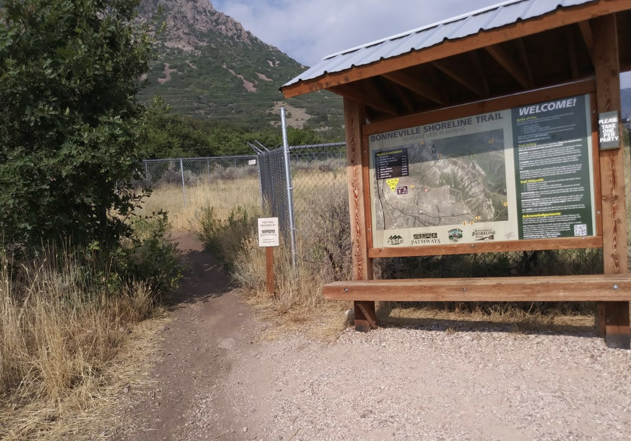
PLEASANT VIEW TRAIL HEAD
From I-15: Exit eastbound (toward the mountains) at the 2700 North Exit. Continue across US-89 then turn left on 600 West. At Elberta Drive, turn right and drive one block to turn left on 500 West, continuing uphill and northbound. Turn right when you reach 2300 North (also signed as 4300 North). Take the next left onto 350 East. Turn right (east) on 4600 North and drive to the parking area.
NORTH OGDEN LOOKOUT TRAIL HEAD
From Ogden drive north on Washington Blvd towards North Ogden. Turn right onto E. 2600 N. for about a mile then turn left onto N. 1050 E. In about .7 miles turn right onto E. 3100 N. which turns into North Ogden Canyon Road. In about a mile, the parking lot for the trail head will be on your right.