
PIPELINE TRAIL
NORTH FORK PARK TRAILS, OGDEN VALLEY, UTAH
LENGTH:
0.75 miles one way
ELEVATION GAIN:
200 feet
HIGHEST POINT:
5807 feet
Easy
CALCULATED DIFFICULTY:


PIPELINE TRAIL DESCRIPTION
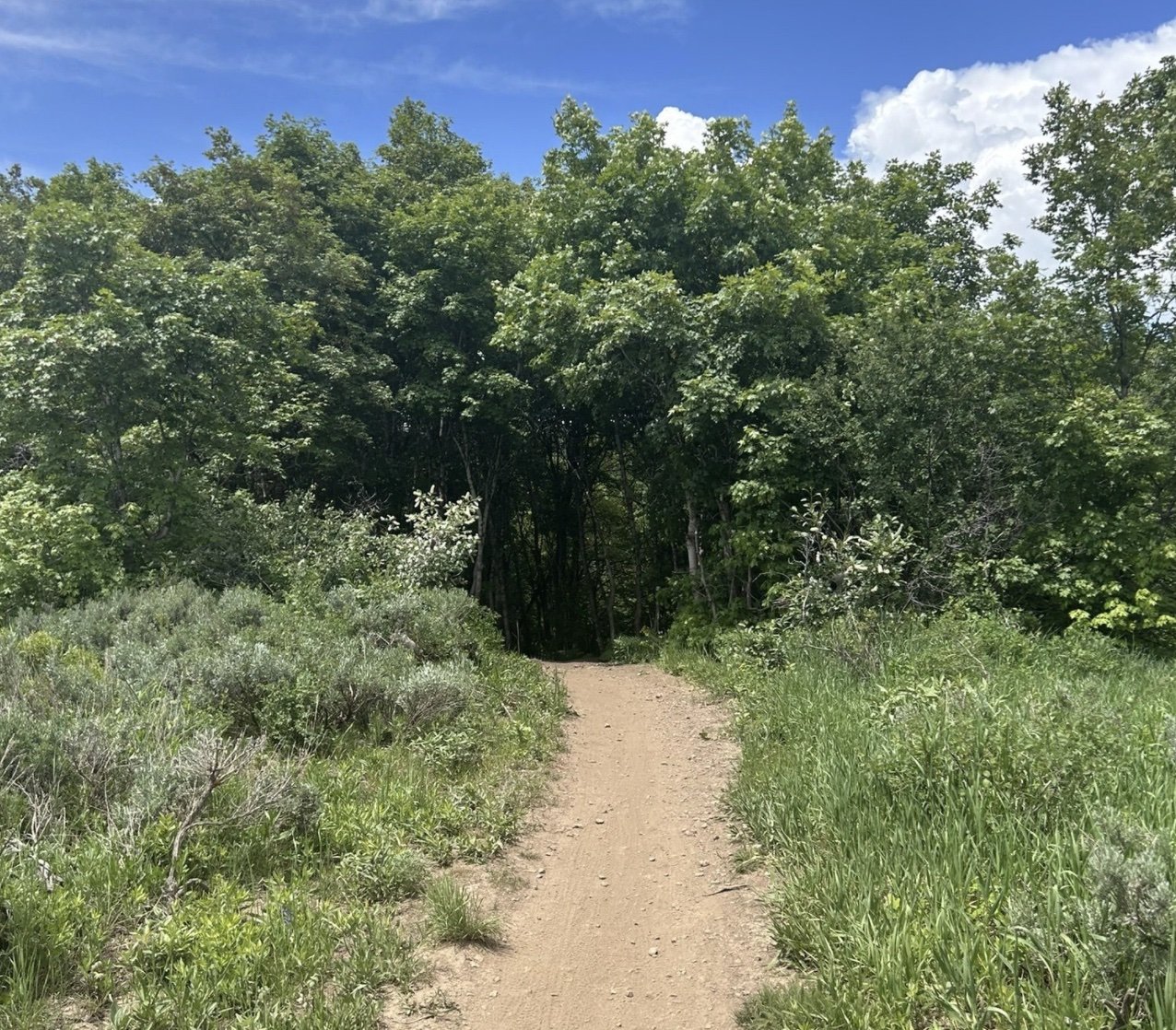
This trail follows an old pipeline and started as people just started walking along the wider flat surface. As a result this trail is not smooth, but is void of any large rocks or other obstacles. Mountain Bikers enjoy the small bumps as it can feel like a little pump track. Small bumps and little ups and downs are found throughout the trail. It winds behind some campsites as it crosses one road and has a wide bridge at a stream crossing. This short trail connects to several other trails in the North Fork area and is heavily used as it provides access other parts of the park. About a quarter of the way up you can access the Northwest part of Trail 365. At the end of the trail you can access Mule Shoe, Mules Ear, Mules Ear Connector or TMF trails.
PIPELINE TRAIL LOCATION
GETTING THERE:
Trail leaves from the South Entrance of North Fork Park. There is a large parking lot right before the gate. To access the trail you will ride up the paved road for 100' and find the trail on the right side (North) of the paved road.
This trail description is written by:
Ben & Kristi Prall, TFNU Board Members