
PIONEER TRAIL
SKYLINE TRAILS, OGDEN, UTAH
LENGTH:
2.5 miles one way
ELEVATION GAIN:
1500 feet
HIGHEST POINT:
6200 feet
CALCULATED DIFFICULTY:
Moderate


PIONEER TRAIL DESCRIPTION
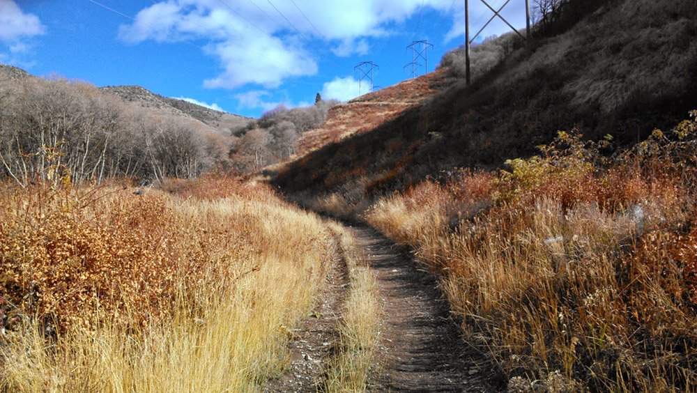
Pioneer Trail starts at the 2750N Mountain Road trailhead (also known at the gravel pit). Go up the gravel road from the trailhead.
Approximately 100 yards up the road will veer left. Follow this as it continues uphill for another .2 miles to another junction. Turn right and continue up the road. This trail stays down in the canyon for about another 1.4 miles. At this point you will see a single track trail to the right. Follow this for about another .75 miles through the trees until you get to the North Ogden Divide Trailhead.
Total round trip mileage is about 5 miles with just shy of 1500' of gain. Note that the "road" is very rocky and loose.
PIONEER TRAIL LOCATION
GETTING THERE:
From the intersection of Washington Blvd. and 2700N, go east on 2700N to Mountain Road. Turn left and follow Mountain Road to the trailhead. The trailhead is next to the old gravel pit.
This trail description is written by:
Jim Skaggs, TFNU Board Member