
MULES EAR TRAIL
NORTH FORK PARK TRAILS, OGDEN VALLEY, UTAH
LENGTH:
3.0 miles one way
ELEVATION GAIN:
688 feet
HIGHEST POINT:
6522 feet
CALCULATED DIFFICULTY:
Moderate


MULES EAR TRAIL DESCRIPTION
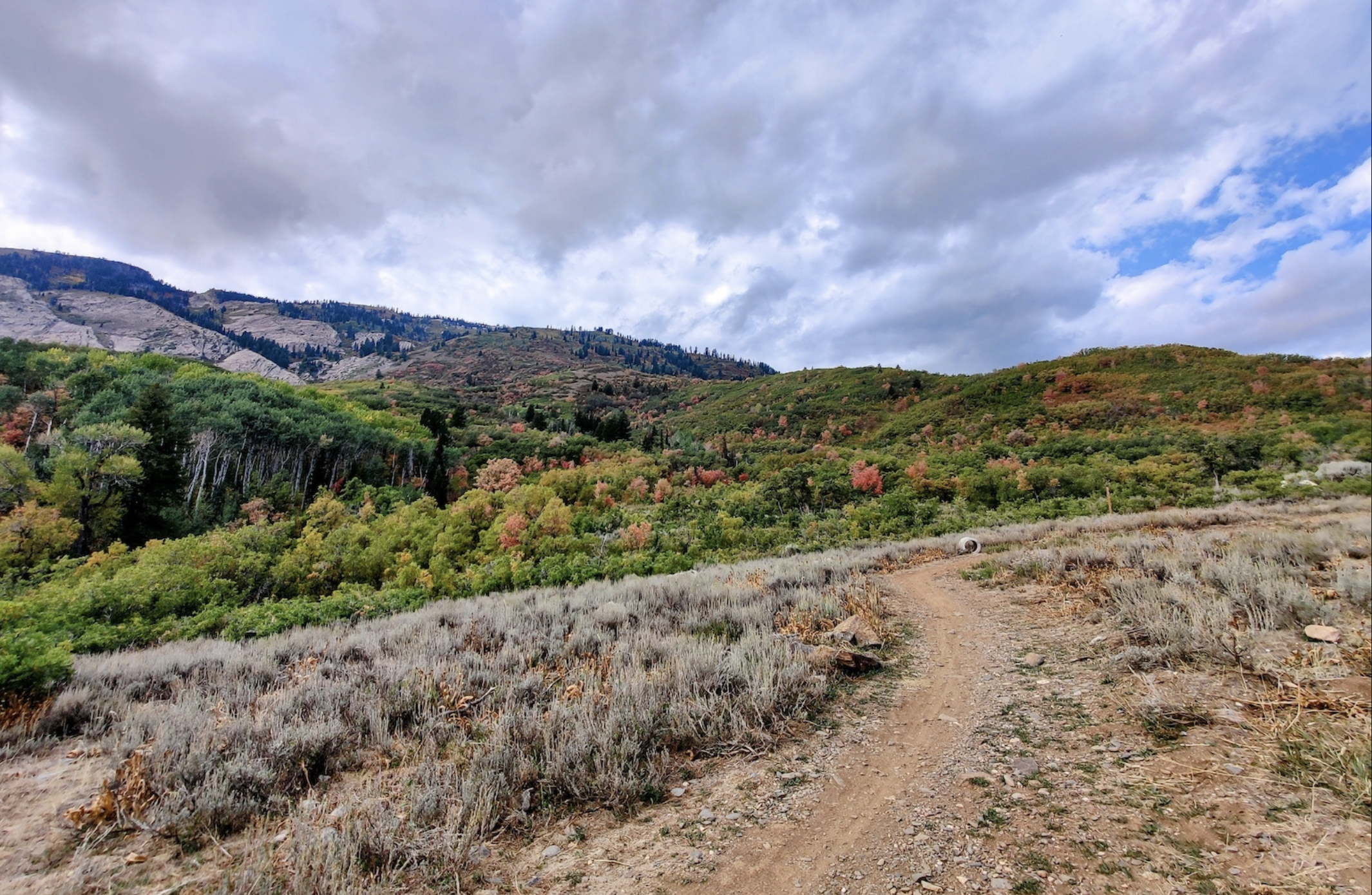
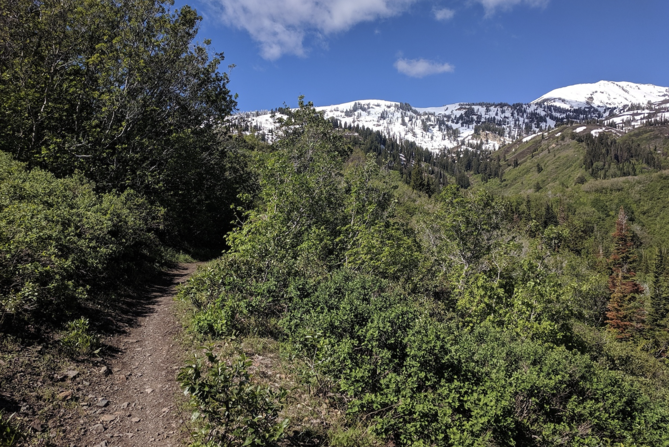
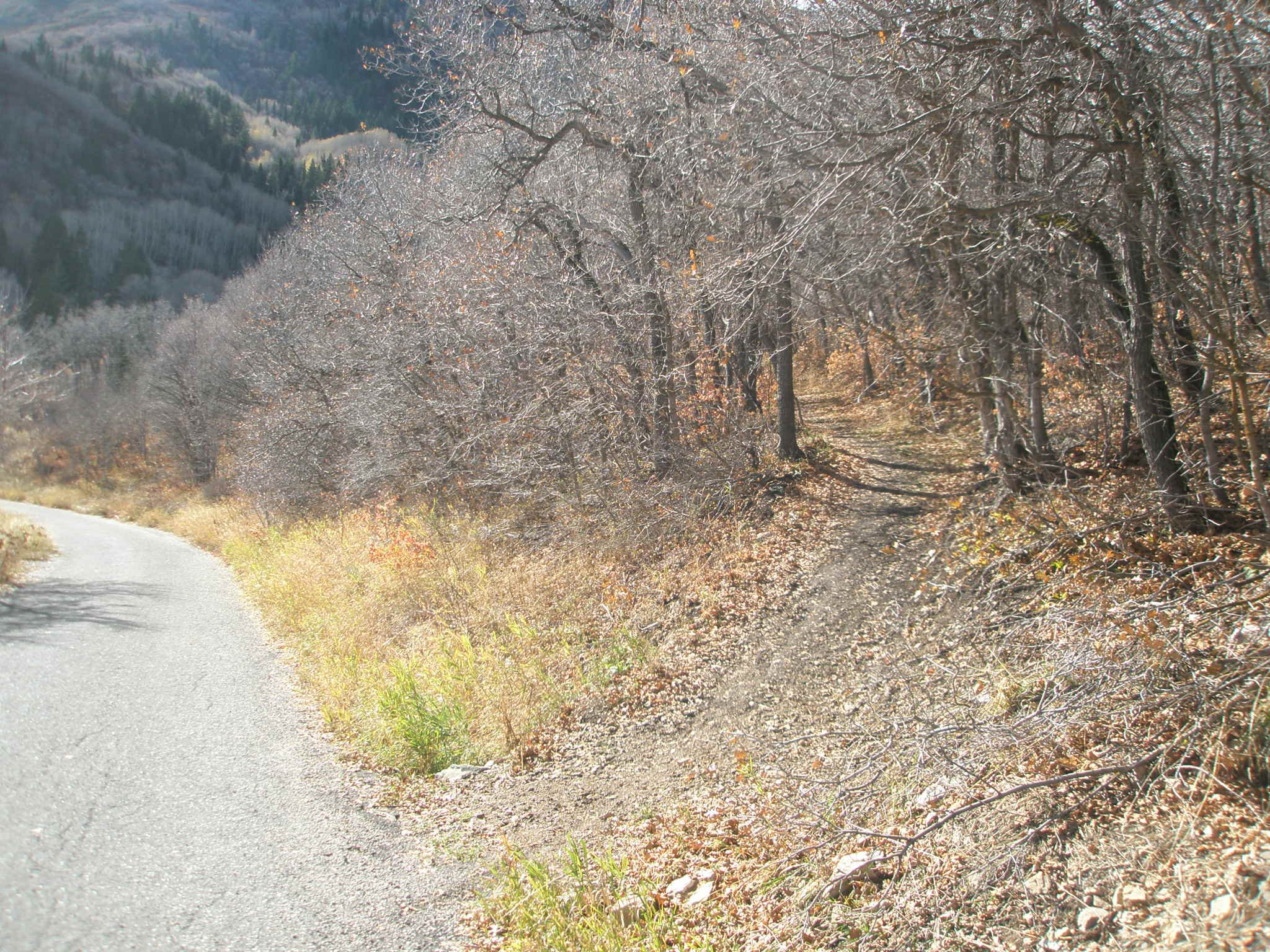
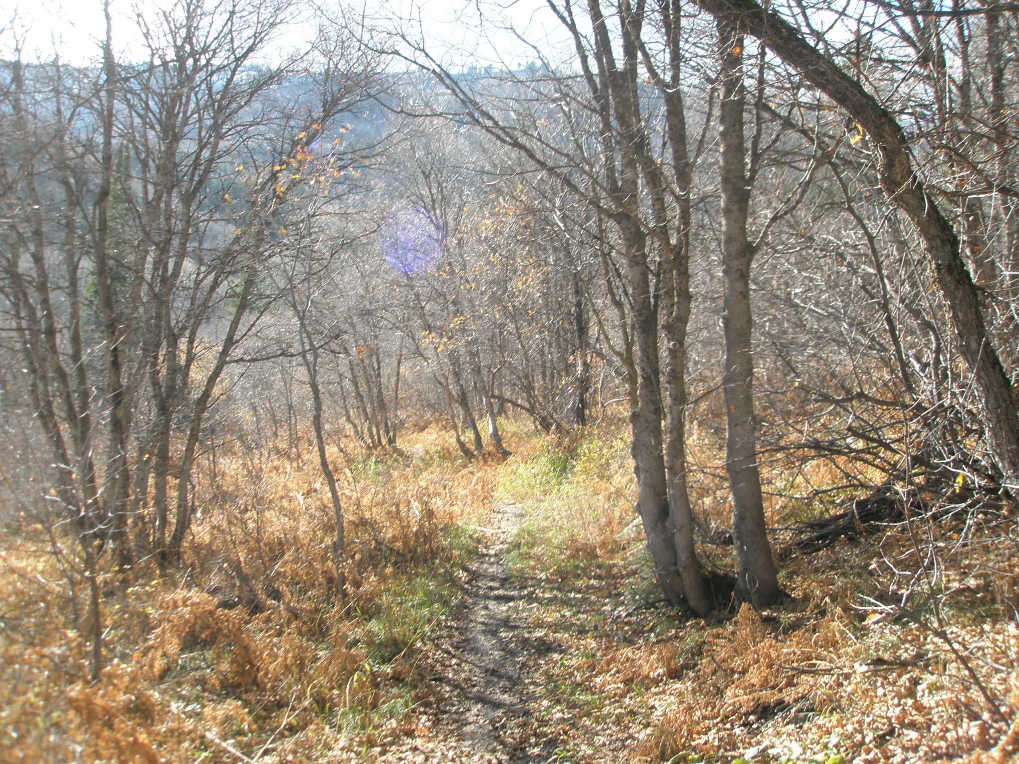
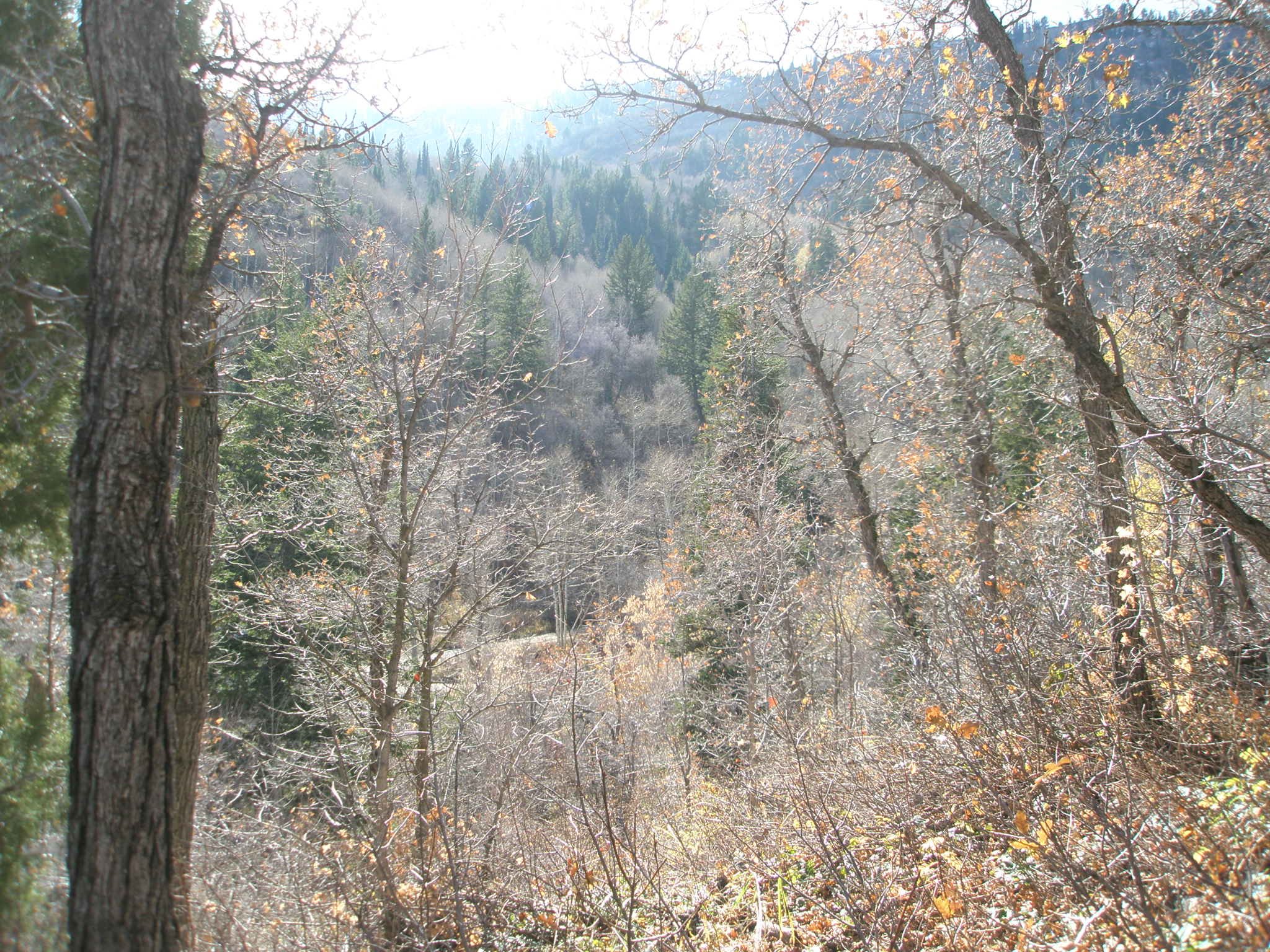
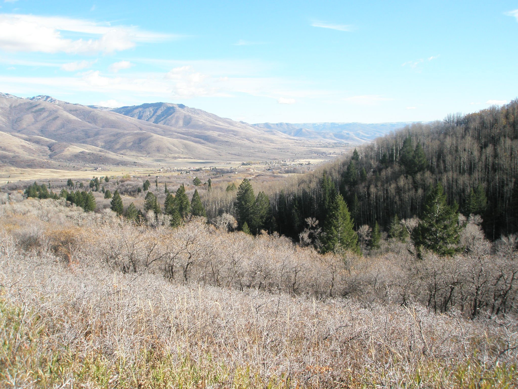
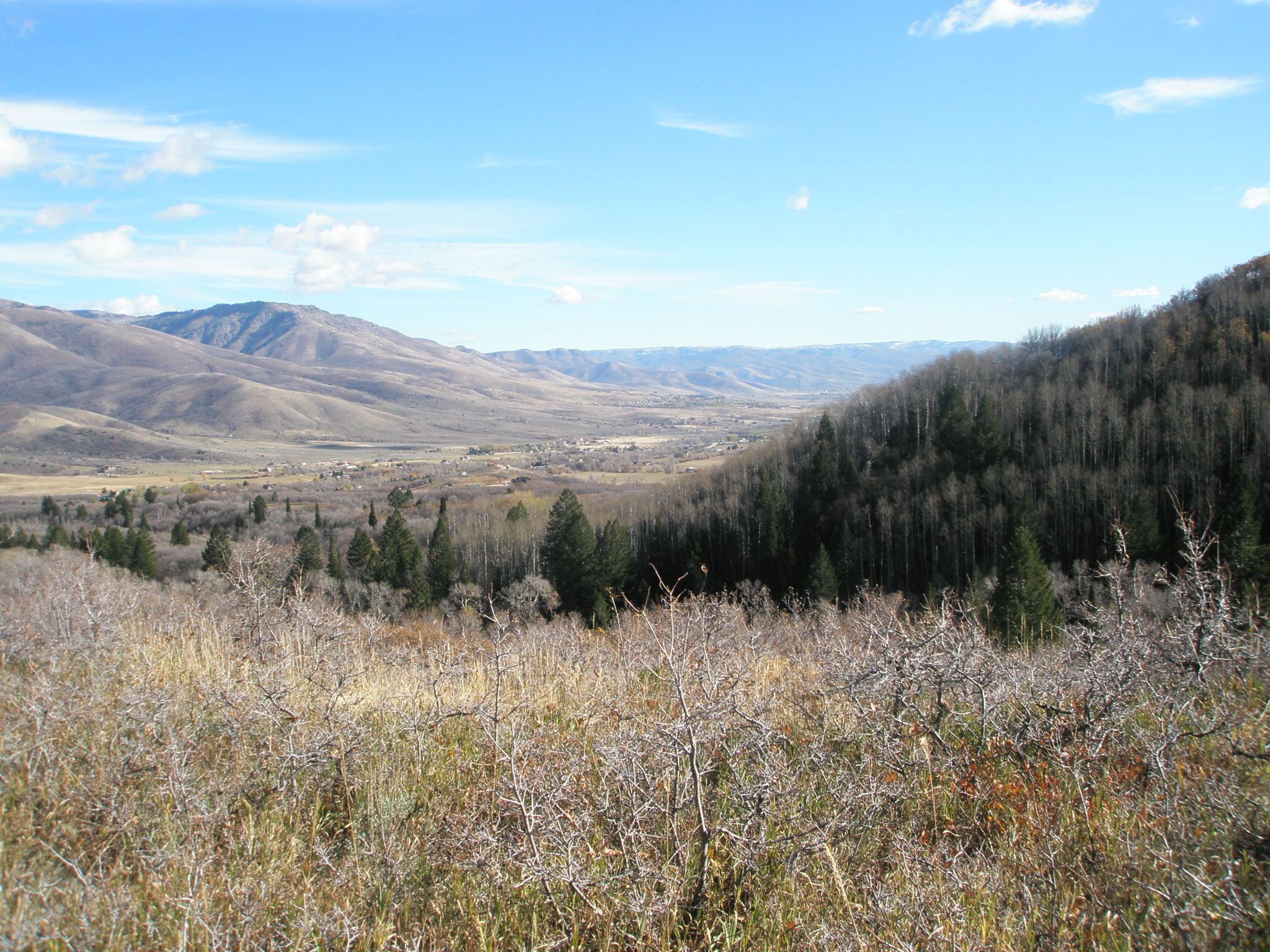
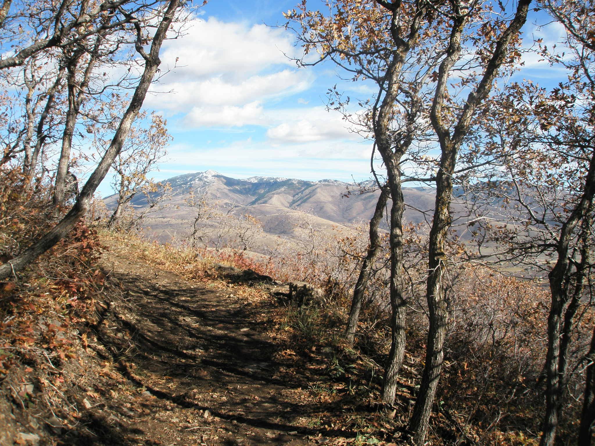
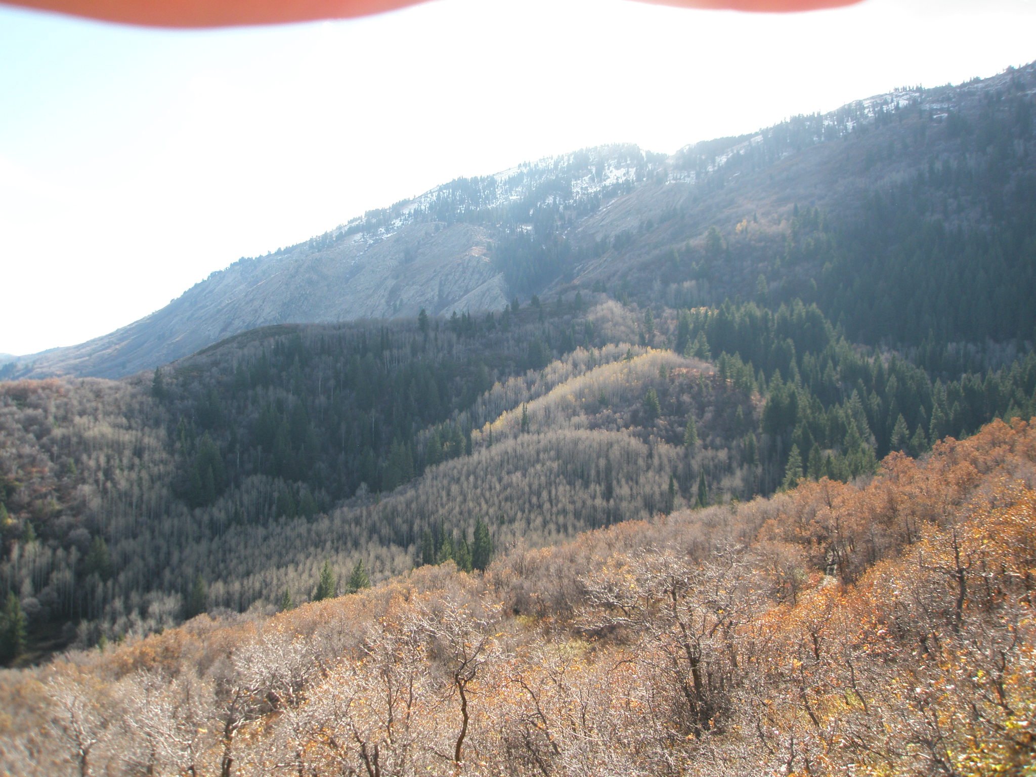
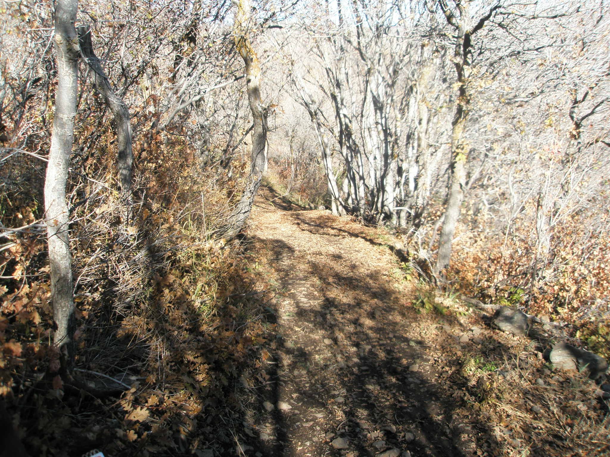
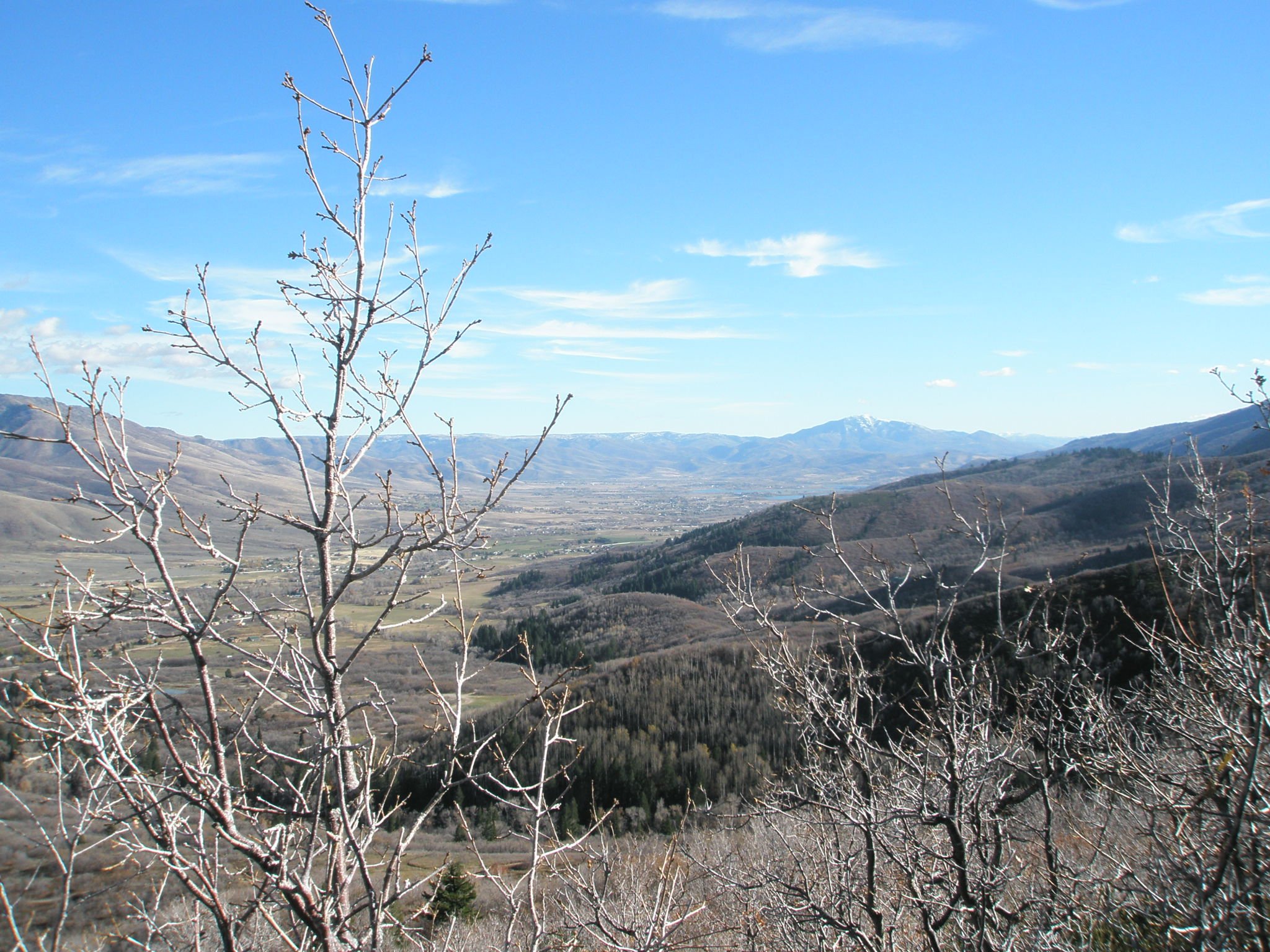
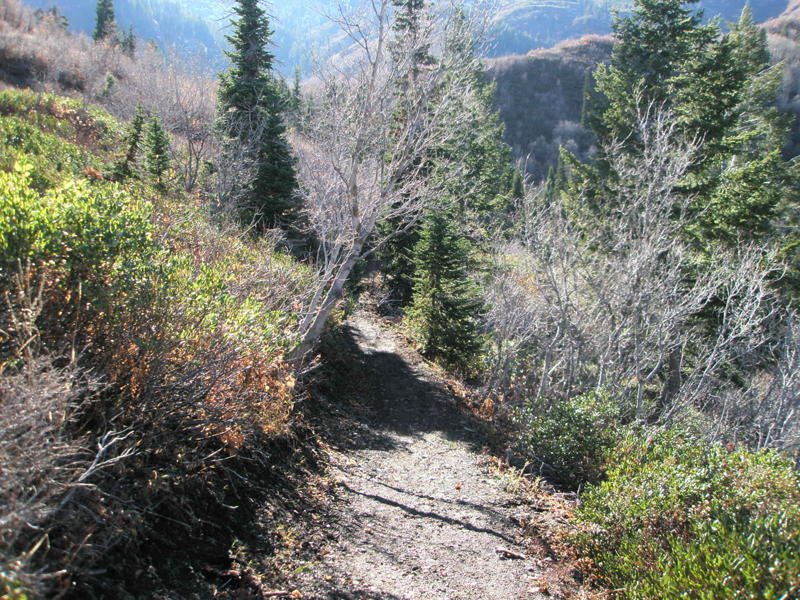
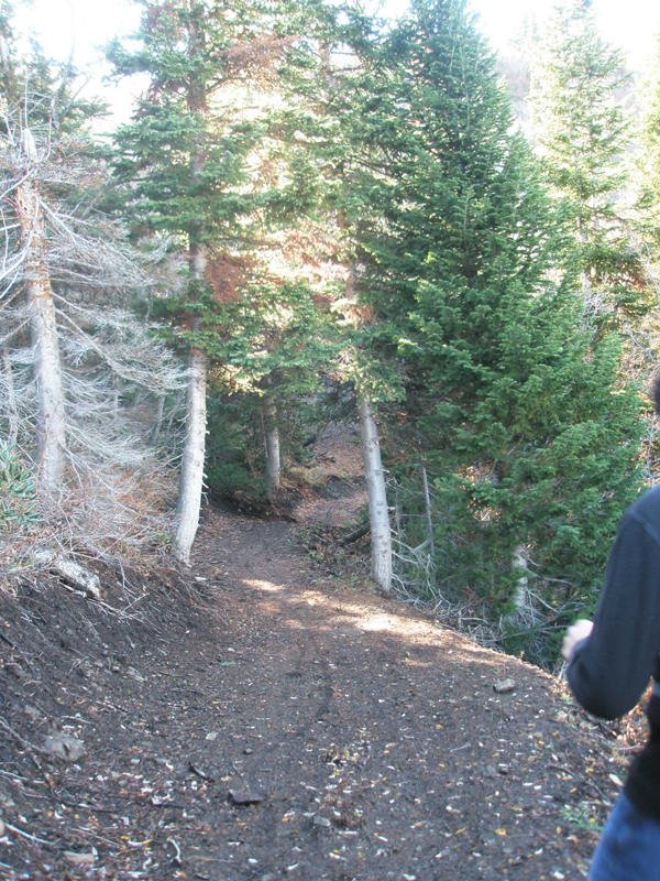
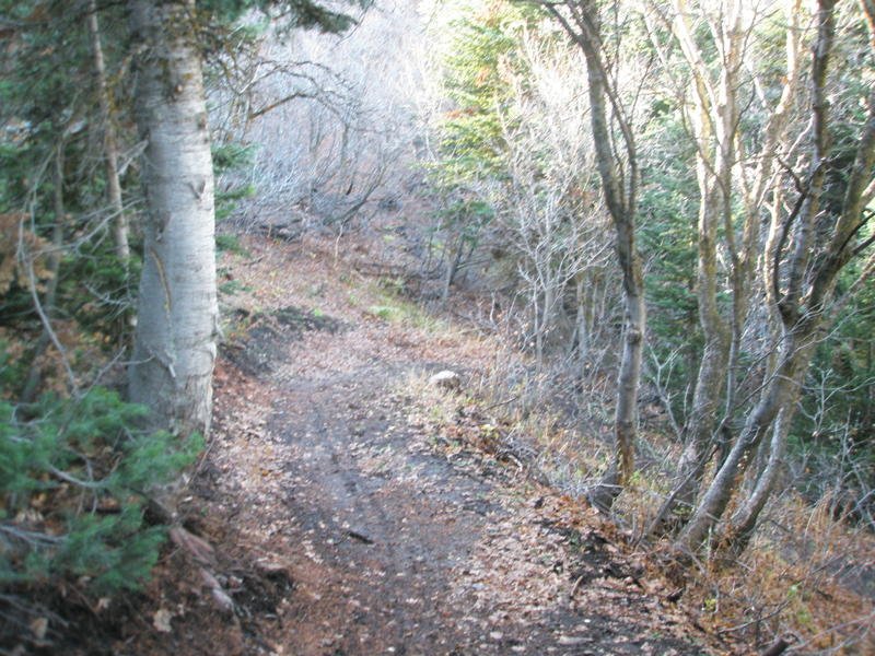
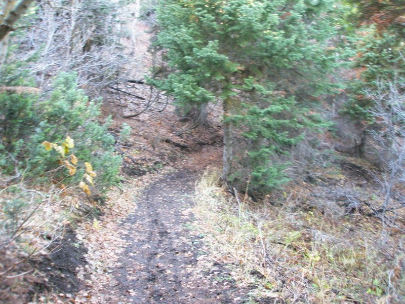
This single-track trail ascends (and descends) using switchbacks to the top of a mountain. A loop can be made if using the Connector trail (parallels main road) or if taking Mule Shoe as well. Any combination provides a smooth and gentle trail. There is much shade but no water crossings. At the top of the climb, you will find the Mule Ear Lookout trail which gives you great views of the valley and of a waterfall to the west (only present in spring). Bicyclists prefer to take this trail from south to north or clockwise if making a loop.
MULES EAR TRAIL LOCATION
DIRECTIONS TO TRAIL HEAD
From Ogden, get onto 12th Street and head towards the mountains (east). 12th Street turns into UT-39, otherwise known as Canyon Road. You will go about 6 miles through the canyon and eventually see the dam for the reservoir. At this point, turn left over the dam onto UT-158 N. In about 4.3 miles you will come to a fork in the road - bear left onto N. Highway 162, which you will stay on for about 2.4 miles. Merge onto N. 3500 E for about half a mile and then turn left onto E. 4100 N. for about a quarter of a mile until you see N. 3000 E. where you will make a right. In about a mile and a half you will bear to the left onto North Fork Road. Stay on North Fork road for about 2.5 miles and then turn left onto E. 6890 N. and continue for about a half mile. At the T, turn right onto North Fork Park Road. In about a half mile, the Cutler Flats area will be on your right. Park anywhere along this loop and signs for trails will guide you from here. There are several trails that can be accessed from this location.
This trail description is written by:
Michelle Paustenbaugh, TFNU Board Member