
GIDDY UP TRAIL / JACK ASS PASS
NORTH FORK PARK TRAILS, OGDEN VALLEY, UTAH
LENGTH:
0.5 miles one way
ELEVATION GAIN:
77 feet
HIGHEST POINT:
5826 feet
CALCULATED DIFFICULTY:
Moderate


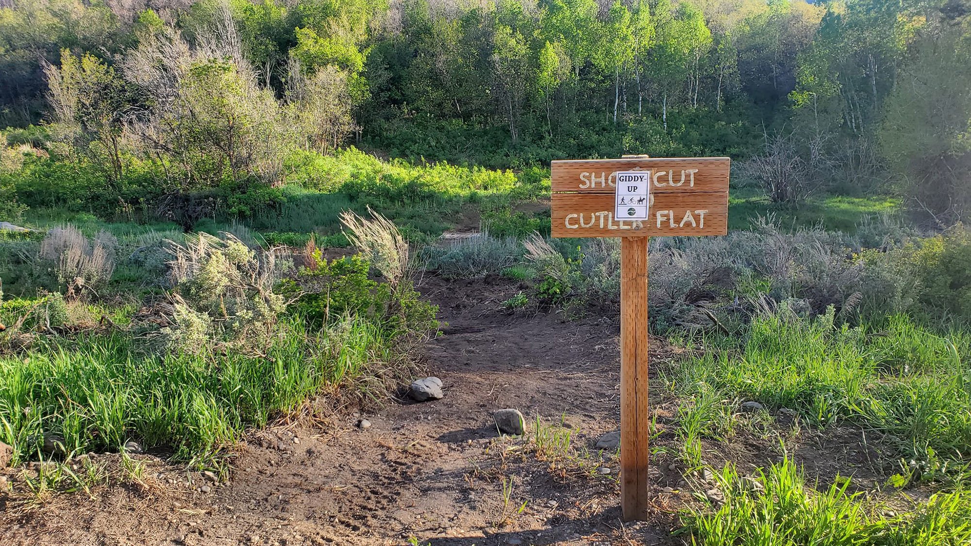
GIDDY UP TRAIL DESCRIPTION
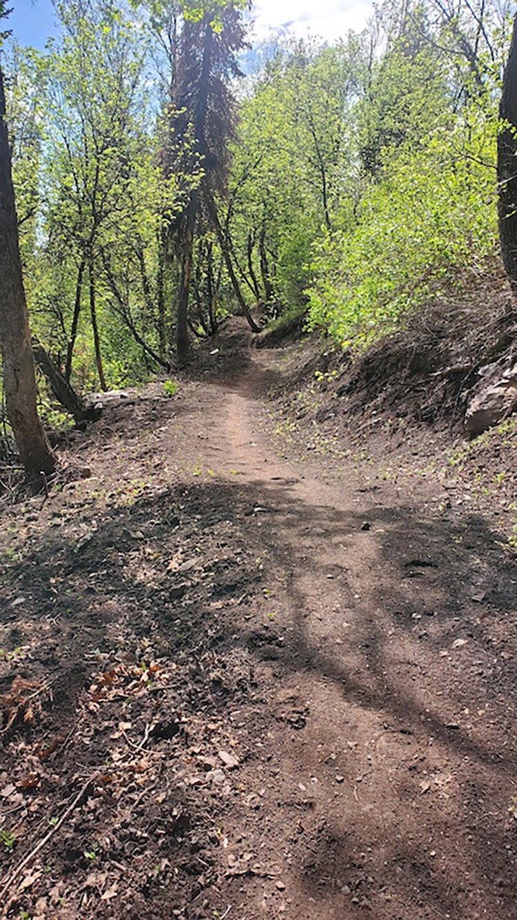
This short trail connects the bottom (south end) of Cutler Flats to the north entrance main road. This trail serves as a non-motorized connector from Cutler Flats and the Bicentennial Trail to other North Fork trails: Mule Shoe, Cinch, Cutler's Twist. This well-shaded trail ascends for the first third and descends for the rest. This trail has also known as Jack Ass Pass.
GIDDY UP TRAIL LOCATION
GETTING THERE
From Ogden, get onto 12th Street and head towards the mountains (east). 12th Street turns into UT-39, otherwise known as Canyon Road. You will go about 6 miles through the canyon and eventually see the dam for the reservoir. At this point, turn left over the dam onto UT-158 N. In about 4.3 miles you will come to a fork in the road - bear left onto N. Highway 162, which you will stay on for about 2.4 miles. Merge onto N. 3500 E for about half a mile and then turn left onto E. 4100 N. for about a quarter of a mile until you see N. 3000 E. where you will make a right. In about a mile and a half you will bear to the left onto North Fork Road. Stay on North Fork road for about 2.5 miles and then turn left onto E. 6890 N. and continue for about a half mile. At the T, turn right onto North Fork Park Road. In about a half mile, the Cutler Flats area will be on your right. Park anywhere along this loop and signs for trails will guide you from here. There are several trails that can be accessed from this location.
This trail description is written by:
Michelle Paustenbaugh, TFNU Board Member