
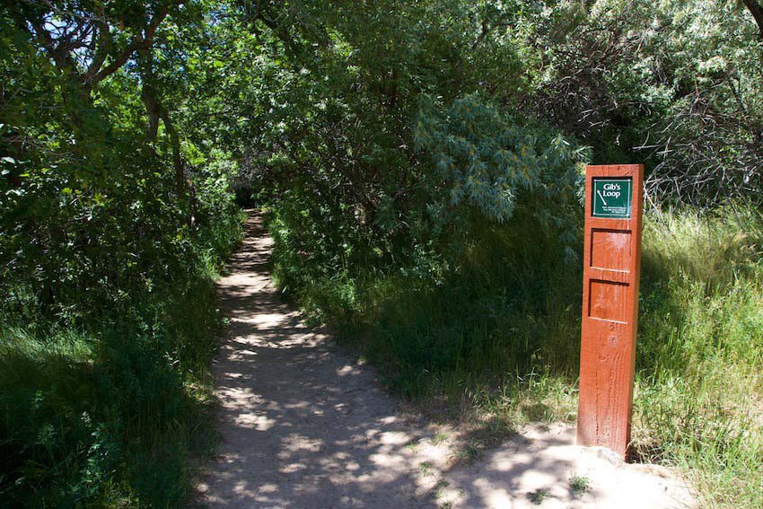
GIBS TRAIL
BONNEVILLE SHORELINE TRAILS, OGDEN, UTAH
LENGTH:
3.1 miles as a loop
ELEVATION GAIN:
380 feet
HIGHEST POINT:
4904 feet
CALCULATED DIFFICULTY:
Easy


GIBBS TRAIL DESCRIPTION
Gib’s Loop is one of Ogden’s most well-known family friendly hikes. The trail is easily accessible from one of three trailheads at 29th, 32nd or 36th Street. The route was renamed Gib’s Loop in honor of legendary trail builder Gilbert “Gib” Wallace after his death in 2010 at the age of 85. It was one of the first trails that Wallace planned, and he felt it was one of his best efforts.
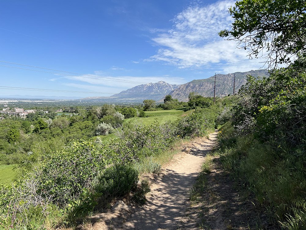
Hikers who start at the 29th Street trailhead should take the path closest to the Pineview Water District’s security fence while mountain bikers take the middle path denoted as the Foothill bike trail. A third path leads up the mountainside to the Bonneville Shoreline Trail.
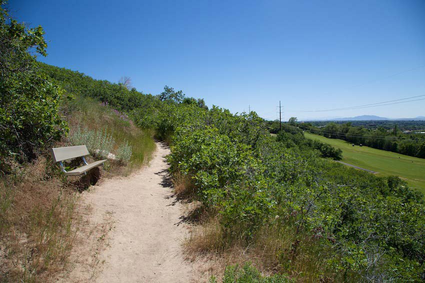
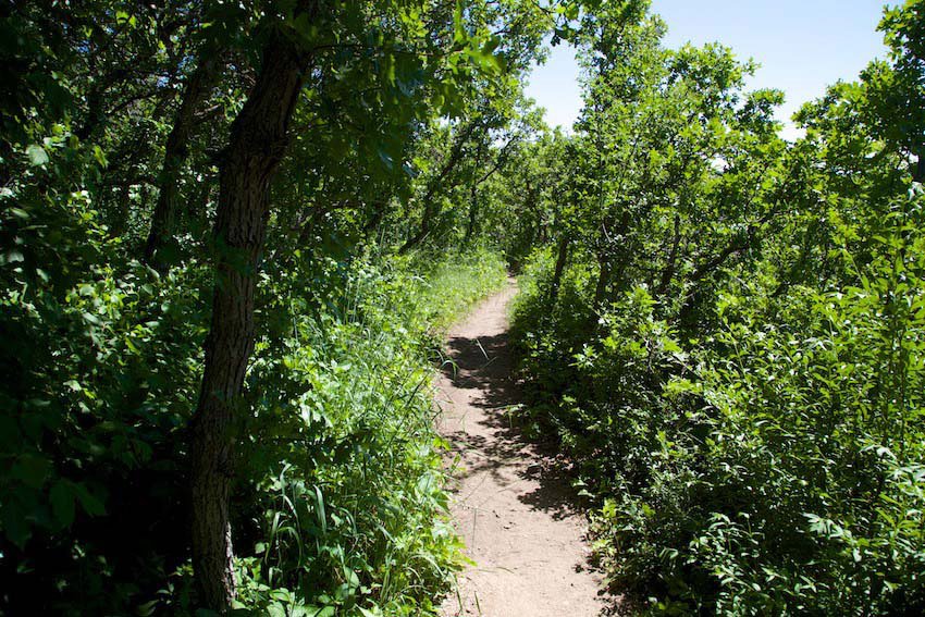
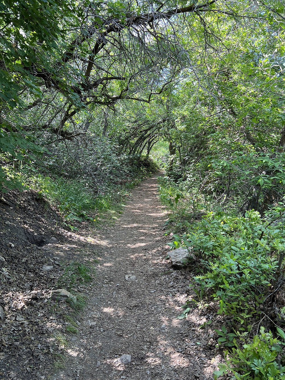
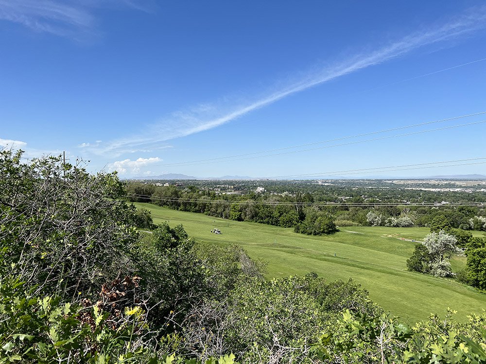
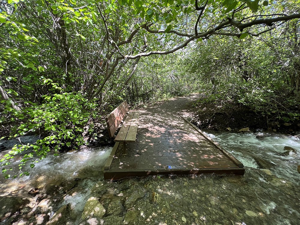
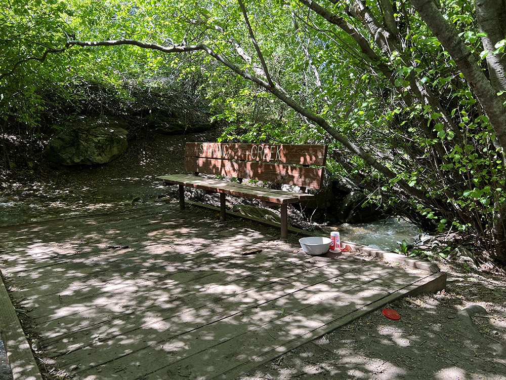
Heading south, the trail offers views of Mount Ogden Golf Course’s eighth, sixth and fifth holes before winding down to a bench on a bridge that crosses Strong’s Creek. From here the trail continues down to the 36th Street trailhead then loops back north by following an underground Pineview water line before dropping steeply to the picnic and playground areas near the 32nd Street trailhead. Hikers return to the 29th Street trailhead by walking along Taylor Avenue to 29th Street.
Pro Tip:
A bench that overlooks Mount Ogden’s sixth fairway is less than a mile south of the 29th Street trailhead. The bench provides a great place to enjoy views of the golf course, Ogden City and Ben Lomond.
GIBBS TRAIL LOCATION
DIRECTIONS TO TRAIL HEAD
From Ogden
Both 29th Street and 36th Street Trailheads have restrooms available.
This trail description is written by:
Ron Thornburg, TFNU Board Member