
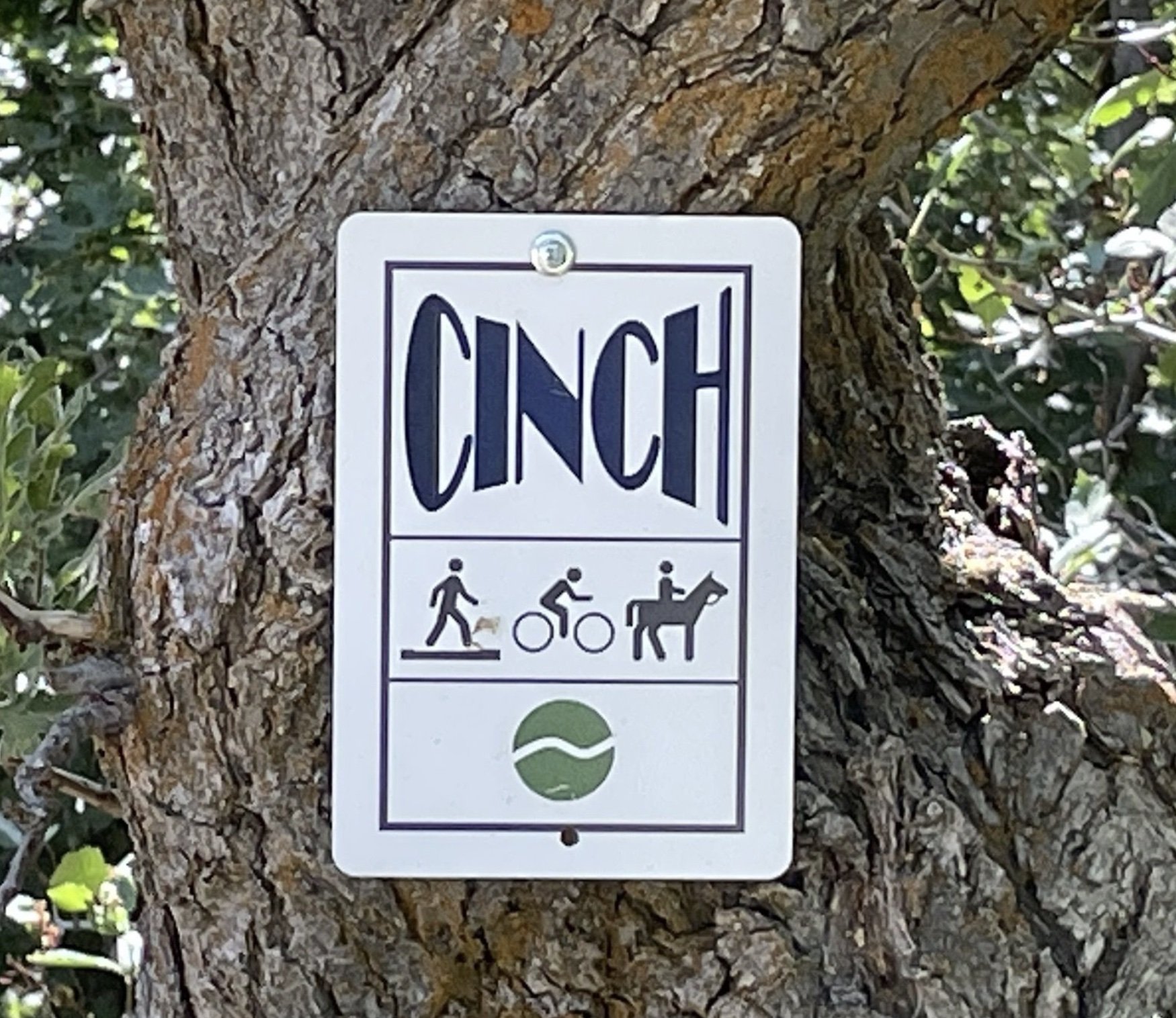
CINCH TRAIL
NORTH FORK PARK TRAILS, OGDEN VALLEY, UTAH
LENGTH:
1.0 mile one way
ELEVATION GAIN:
73 feet
HIGHEST POINT:
5759 feet
Easy
CALCULATED DIFFICULTY:


CINCH TRAIL DESCRIPTION
Cinch is a trail that goes between the bottom of Cutler Twists and the middle of Mules Shoe. It cuts off the the eastern loop of Mules Shoe trail. Some that ride the area consider Cinch to run from the bottom of Cutlers Twist and go to the top of Pipeline. Others consider that Cinch runs from Cutlers Twist to the canyon where Mules Shoe comes back West. Depending on your defintion Cinch runs either 0.3 or 1.0 miles. Either way it is a fun and pretty section of trail either direction, although most bikers will ride the trail from North to South, this will provide with fun flowy downhill but with some very steep switch backs. They are steep but short. It is a great way to get back to the South Gate parking lot after completing Cutlers Twists or Mules Ear/Mules Shoe loop.
Adaptive Information
This trail is very suitable for adaptive trail users. Adaptive mountain bikes will have no issues throughout the trail and will enjoy it. No spotting or careful navigation required.
CINCH TRAIL LOCATION
GETTING THERE:
There is no official trailhead for Cinch. You can access it off the North Gate road but there is no designated parking on the road other than a small pull out. Cinch is best accessed through Cutlers Twist or the top of Mules Shoe.
This trail description is written by:
Ben & Kristi Prall, TFNU Board Members