
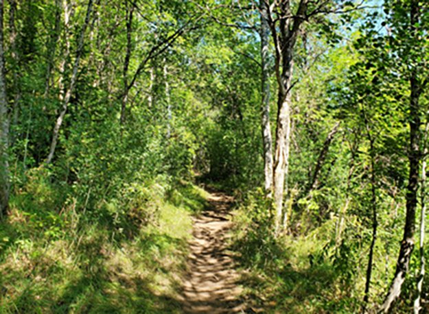
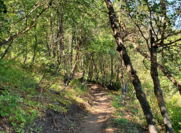
BICENTENNIAL TRAIL
NORTH FORK PARK TRAILS, OGDEN VALLEY, UTAH
LENGTH:
1.4 miles one way
ELEVATION GAIN:
567 feet
HIGHEST POINT:
6365 feet
CALCULATED DIFFICULTY:
Moderate


BICENTENNIAL TRAIL DESCRIPTION
The Bicentennial Trail can be taken in both directions, and either way, you'll have an equal amount of steep climbing. The trail has ample shade, so even during summer months, it’s a nice escape from the heat. To get to each end of the trail, you'll need to climb on the North Fork River Trail, or Cutler Creek Trail, which are both service roads.
Bicentennial Trail is an out and back trail, but if you're looking for more of a challenge, you can choose to expand your walk onto a loop. This has the benefit of allowing you to never have to retrace your steps, but it does make the walk longer! A popular loop would be to take the North Fork River Trail up to Long Loop, take that around (counterclockwise) and you will run into Bicentennial that will loop you back to North Fork River Trail and back to Cultler Flats.
This trail has spectacular autumn foliage in late September into October.
BICENTENNIAL TRAIL LOCATION
From Ogden, get onto 12th Street and head towards the mountains (east). 12th Street turns into UT-39, otherwise known as Canyon Road. You will go about 6 miles through the canyon and eventually see the dam for the reservoir. At this point, turn left over the dam onto UT-158 N. In about 4.3 miles you will come to a fork in the road - bear left onto N. Highway 162, which you will stay on for about 2.4 miles. Merge onto N. 3500 E for about half a mile and then turn left onto E. 4100 N. for about a quarter of a mile until you see N. 3000 E. where you will make a right. In about a mile and a half you will bear to the left onto North Fork Road. Stay on North Fork road for about 2.5 miles and then turn left onto E. 6890 N. and continue for about a half mile. At the T, turn right onto North Fork Park Road. In about a half mile, the Cutler Flats area will be on your right. Park anywhere along this loop and signs for trails will guide you from here. There are several trails that can be accessed from this location.
GETTING THERE
This trail description is written by:
Michelle Paustenbaugh, TFNU Board Member